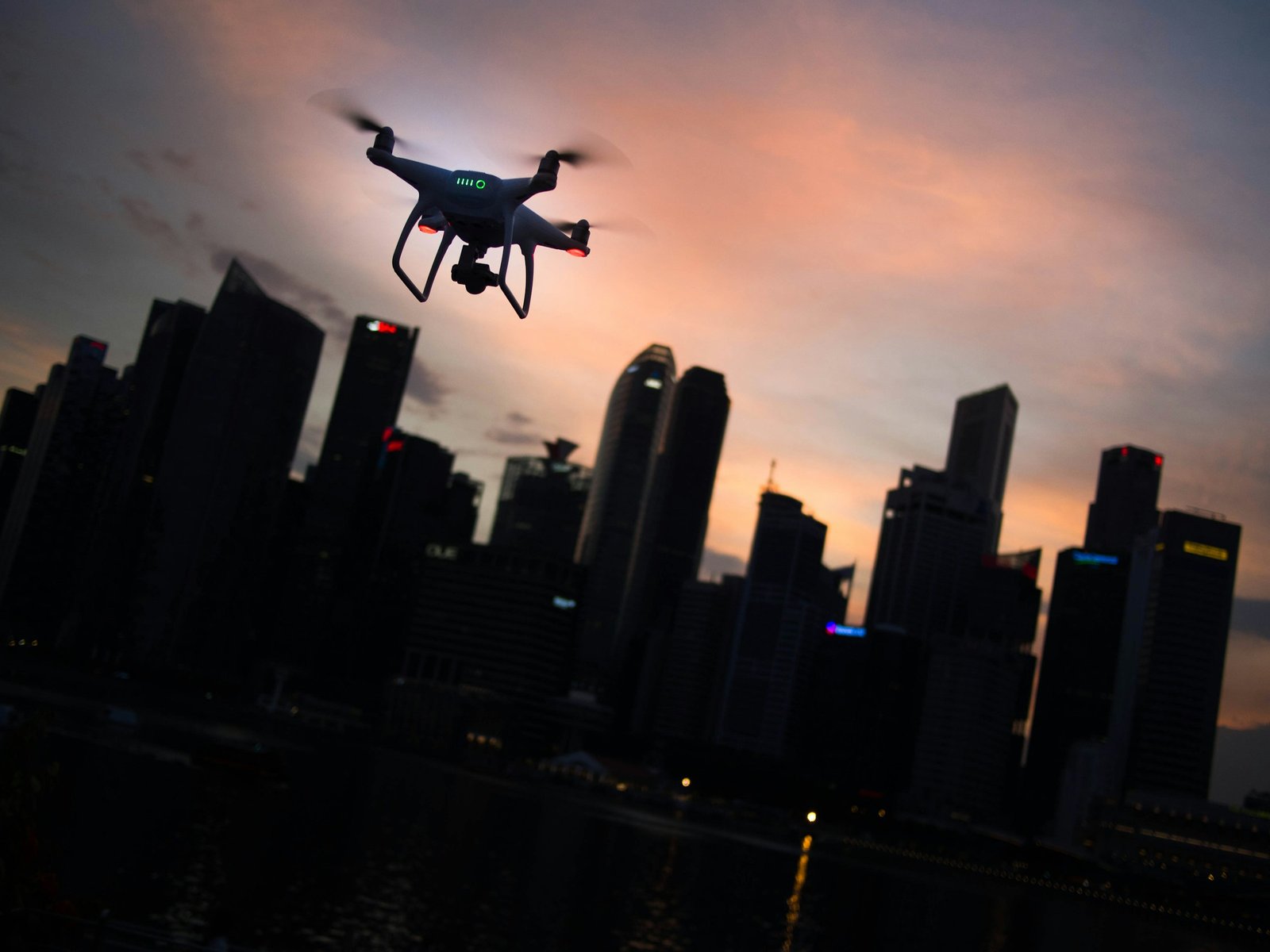
Dfwairview offers comprehensive drone services tailored to industrial sites, including refineries, transmission lines, wind turbines, offshore rigs, manufacturing facilities, and civil infrastructure. With a nationwide network of FAA-licensed and insured pilots, we can deploy to virtually any location for projects of any scale. For cost-effective industrial drone services, reach out to us today.


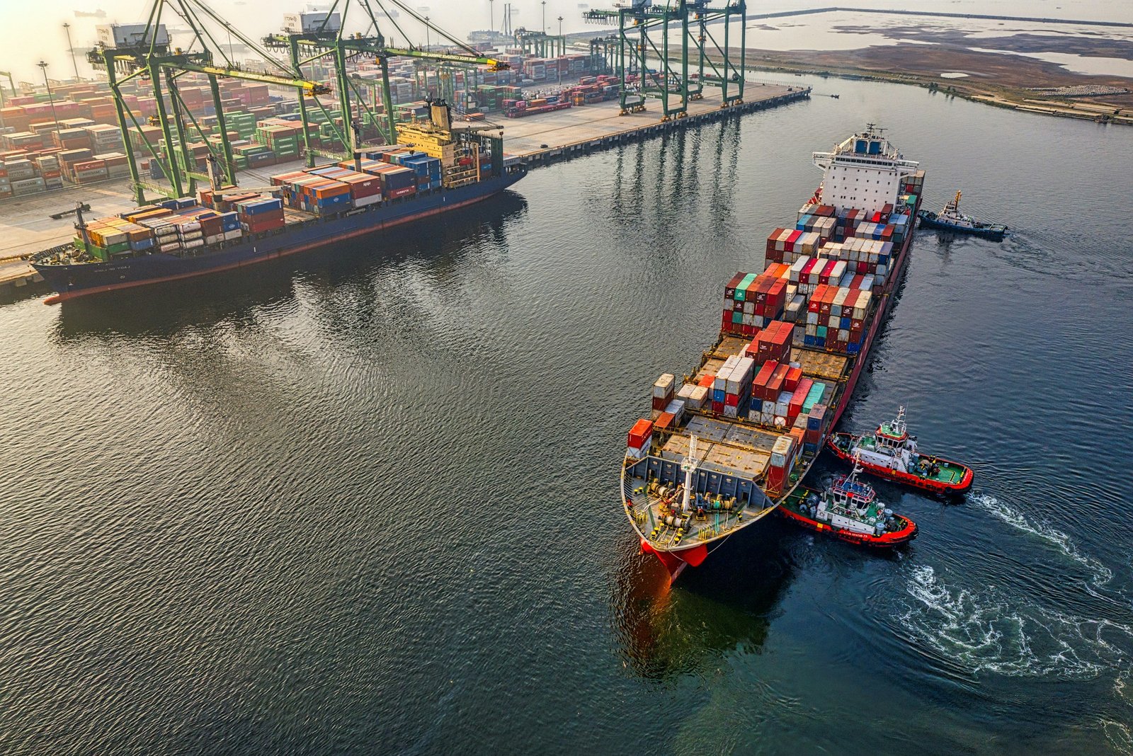
Industrial sites and assets are characterized by intricate systems with interconnected dependencies. Failures in one area can lead to costly downtime and hazardous conditions across multiple components. Refineries, manufacturing facilities, ports, and energy assets like transmission and distribution lines are also subject to rigorous federal regulations.
Drones are revolutionizing site and asset inspections by providing detailed views shortly after takeoff. Compared to traditional methods, drone inspections, data collection, and progress monitoring are significantly safer for crews. Leveraging advanced technologies such as LiDAR, photogrammetry, and other sensors, drones offer enhanced maintenance and decision-making data, streamlining compliance efforts and minimizing downtime, all while prioritizing worker safety.

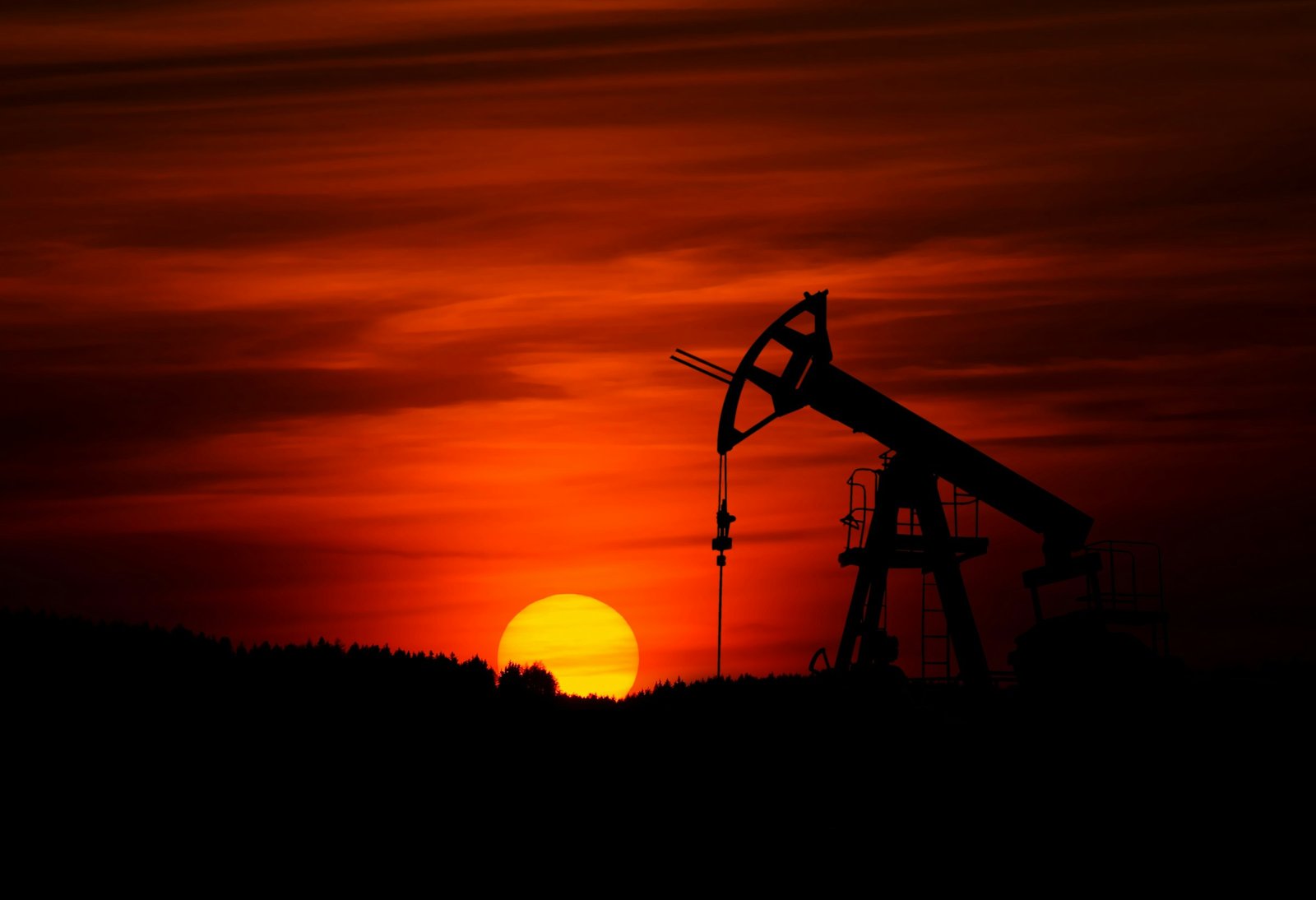
Drone aerial imaging plays a vital role in maintaining the smooth, profitable, and compliant operations of refineries and offshore rigs. Drones facilitate asset and facility inspections, industrial photogrammetry, LiDAR scanning, and more.
1. Safe and comprehensive inspections: Drones enable the collection of thorough data on stacks, flares, pipelines, platforms, and other assets without exposing workers to hazardous conditions.
2. Fast and cost-effective: Traditional inspections at refineries and offshore sites can take weeks and incur significant costs in worker hours. In contrast, drone inspections can be completed within hours, minimizing downtime and reducing expenses.
3. Quick and thorough compliance monitoring: Drones gather real-time data and provide detailed imaging, allowing organizations to ensure compliance with environmental and other regulatory requirements efficiently.
4. Utilization of advanced imaging tools: Drone aerial imaging and videography enable the implementation of advanced techniques such as 3D modeling, LiDAR scanning, and industrial photogrammetry, providing deeper insights for informed decision-making.
5. Improved environmental assessments: Drones can gather comprehensive data for environmental impact assessments, helping identify and address previously unnoticed issues to enhance environmental stewardship.

nspecting assets like transmission lines and turbines has traditionally been time-consuming, costly, and risky for workers. However, drones now offer a more efficient and cost-effective solution, allowing for the inspection of extensive areas from the ground.
Key benefits of using drones for asset inspection:
Improved environmental assessments: Drones gather comprehensive data for environmental impact assessments, enabling the identification of previously hidden issues.
Enhanced inspection and detection capabilities: Drones can quickly cover vast distances of transmission lines, poles, and hardware, utilizing 360-degree views, LiDAR, HD, and 3D imaging to detect anomalies such as line sags, clearances, and maintenance needs.
Identification and reduction of right-of-way encroachment: Drones equipped with LiDAR data enable the periodic inspection of transmission lines to identify and address vegetation, construction, and other encroachments that pose risks to assets.
Integration with PLS-CADD systems: Combining drone LiDAR data with PLS-CADD systems enhances modeling around right-of-way encroachments and facilitates sag-tension analysis to identify discrepancies in ratings.
Increased inspection speed and frequency: Drone flight automation enables the repetitive inspection of routes at specified intervals, allowing for cost-effective and frequent inspections to monitor changes and prioritize maintenance needs.
Verification and maintenance in as-built condition: Drones can perform field verification measurements after construction or maintenance projects to ensure compliance with standards and specifications, ensuring asset reliability.
Accurate capture of blade defects: Drones are capable of capturing wind turbine blade defects with precision, facilitating more accurate maintenance activities that prolong asset life.
Integration with asset management systems: Drone inspection data can be seamlessly integrated into existing asset management systems, streamlining maintenance scheduling and facilitating component orders.

Today’s leading manufacturers are increasingly turning to drones to streamline and accelerate operations within their factories and warehouse facilities.
Key applications of drones in manufacturing and warehouse operations include:
Rapid, thorough, and safe inventory inspection: Drones enable quick and comprehensive inventory inspections by scanning rows of shelves at various heights. This capability is beneficial not only for large retail stores but also for any organization requiring visual inventory inspections of extensive merchandise, offering a more cost-effective solution compared to traditional methods.
Comprehensive oversight: Manufacturers and warehouse managers can utilize drones to obtain aerial 360-degree views of their facilities. This perspective allows for the identification of security vulnerabilities, safety hazards, project progression monitoring, roof and facility maintenance needs, among other insights, within a short timeframe after deployment.
Thorough equipment inspection: Drones are effective tools for conducting equipment maintenance and inspections, helping to reduce equipment breakdowns. They provide detailed visual information that pinpoint issues and indicate areas requiring targeted actions to prevent equipment failure.
Resource scouting: Manufacturers seeking new sources of raw materials can leverage drones for efficient scouting missions, enabling them to survey potential resource locations with ease and precision.

Governmental authorities at the federal, state, and municipal levels can harness the power of drones to assess the status and impact of critical infrastructure such as roadways, bridges, dams, rail projects, and more.
Key benefits of using drones in governmental infrastructure assessments include:
Safe and cost-effective inspections: Drones enable the inspection of hazardous or hard-to-reach areas without putting human workers at risk. By deploying drones for inspections, governmental agencies can save costs and ensure the safety of personnel.
Comprehensive data collection: Drones are equipped to capture detailed visual data from all angles, allowing for the creation of 3D maps, topographical analysis, and other valuable insights. This comprehensive data collection facilitates informed decision-making in infrastructure planning and management.
Environmental impact assessments: Drones provide a powerful tool for conducting thorough environmental and ecological impact assessments. By gathering comprehensive insights from aerial perspectives, governmental authorities can better understand the environmental implications of infrastructure projects.
Disaster preparedness surveys: Drones play a crucial role in disaster preparedness by surveying infrastructure details and identifying potential vulnerabilities. By leveraging drones for surveying purposes, governmental agencies can enhance disaster planning and mitigation efforts, ultimately improving overall resilience.