Dfwairview offers aerial drone services tailored for emergency response teams, insurance assessments, and hazard mitigation. With drone pilots stationed nationwide, we ensure swift deployment to secure locations following a disaster. Our drones excel in accessing hard-to-reach areas, aiding emergency personnel in assessing situations and formulating action plans. Additionally, insurance companies can leverage our drone services to assess damage claims accurately and develop more precise policies.
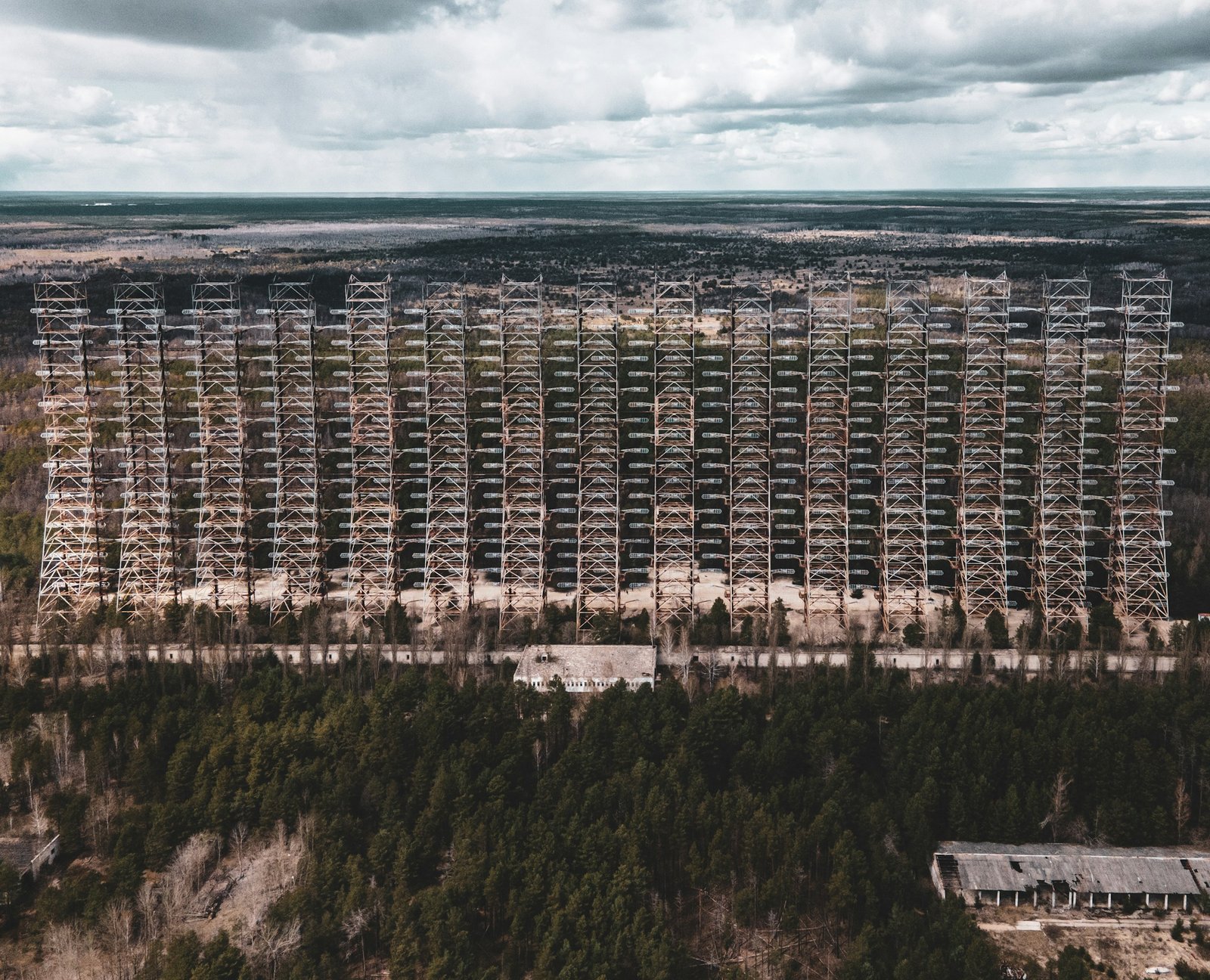
Aerial drone services hold the potential to revolutionize disaster response by offering a more comprehensive understanding of ground conditions. In time-sensitive and hazardous environments, drones offer emergency response teams a swift and secure means to assess immediate threats. Furthermore, insurance companies can utilize drones to assess damages effectively.
Moreover, aerial data collected by drones can be utilized for both pre-incident preparation and post-disaster recovery planning. This aids recovery teams and insurance providers in mitigating costs and preventing tragedies proactively. Drones serve as a cost-effective tool for rapidly acquiring data-driven insights, prioritizing safety regardless of environmental challenges.
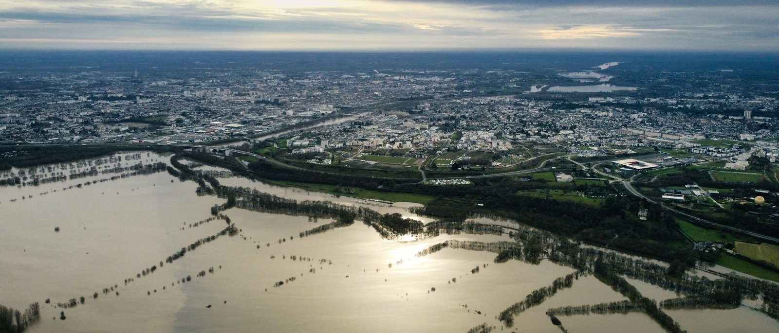
Drones play a crucial role in averting destruction or damage from future natural disasters. Aerial images captured by drones before a disaster strikes are invaluable for assessing potential pre-event vulnerabilities that could be addressed beforehand. This may involve reinforcing buildings to make them more resilient to storms or disasters, retrofitting structures for wind resistance, enhancing roofs, or identifying existing damage that could exacerbate the impact of a disaster.
In the aftermath of storms or other catastrophic events, the capability to swiftly and safely collect aerial imagery of disaster areas is becoming imperative. Drones play a pivotal role in surveying damage and furnishing critical information regarding the safety of various areas, the need for further assessment or repair, and the feasibility of rebuilding. This data aids relief organizations in prioritizing their efforts and pinpointing where additional resources are most required.
Furthermore, in post-disaster damage assessments, drones serve to estimate debris volumes and provide tangible evidence of specific damage.
Drones are also instrumental in monitoring and mitigating wildfires, particularly prevalent in regions like California, where thermal sensors can detect high-risk and hot spot areas.
Furthermore, gathering drone data at disaster sites stands out as one of the most effective methods for mitigating future disasters. By conducting pre-incident assessments and garnering comprehensive insights, organizations can develop stronger action and recovery plans.
Following a disaster, drones play a vital role in conducting thorough damage assessments of critical infrastructure, transportation systems, communication relays, and other essential systems. High-resolution photographs captured by drones facilitate the identification and prioritization of efforts aimed at reconstructing affected areas.
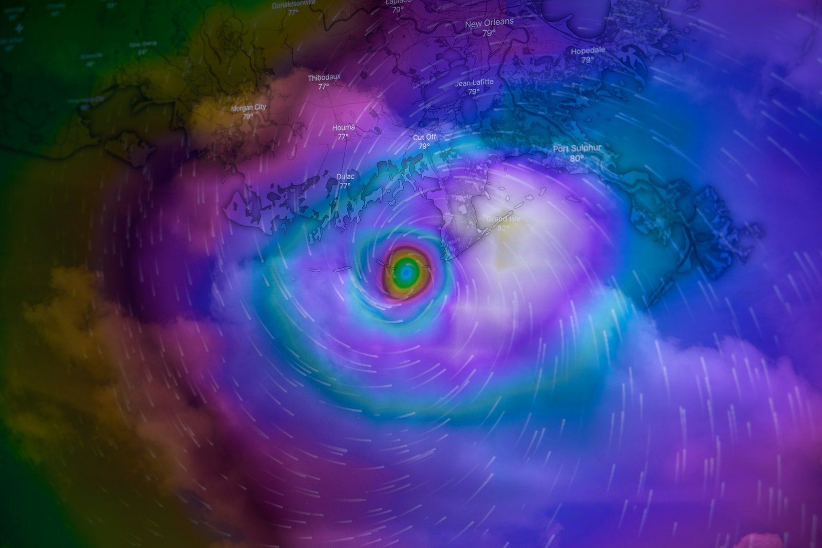
After a disaster, the risks to safety escalate in damaged areas. Drones offer a solution by monitoring these hazardous zones and providing updates on recovery and rebuilding endeavors.
Insurance agencies leverage drones for comprehensive risk assessment, enabling them to calculate informed policy rates and assess the extent of claims accurately. Additionally, drones facilitate quicker claims processing, enhancing efficiency and customer satisfaction.
After a disaster, drones play a critical role in insurance processes:
Insurance Claims After a Disaster: Drones provide a comprehensive aerial perspective of the damage inflicted by natural disasters. This enables insurers to swiftly assess the extent of damage, surpassing the efficiency of traditional on-site inspections. Moreover, drones perform this task without endangering workers, particularly crucial in areas still fraught with safety concerns post-disaster or in remote and inaccessible locations.
Calculating Informed Policy Rates: Insurance agents utilize drones to conduct pre-inspections of homes before issuing insurance policies. This allows insurance companies to tailor policies more precisely to the unique needs of individual homes, moving away from generic one-size-fits-all policies. Additionally, insurers leverage drones to gather data about structures or areas, facilitating the identification of potential risks associated with the property, such as flooding or fire hazards arising from faulty wiring systems.
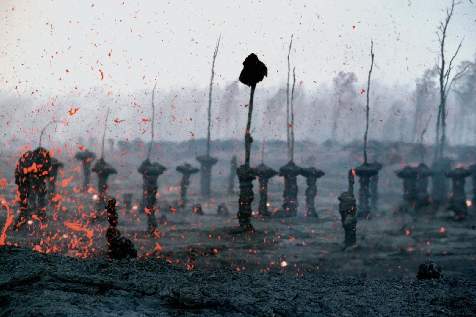
Drones facilitate streamlined, rapid, and safe assessments, empowering adjusters to conduct evaluations swiftly and with enhanced data accuracy, all without needing to enter hazardous zones.
Indeed, insurance agencies and policyholders enjoy expedited claims processing thanks to drones, which can access disaster areas much sooner than adjusters. This swift response accelerates the settlement process, providing timely assistance to those affected by disasters.
Drones enable adjusters to visually inspect damage in hard-to-reach areas, offering views of structures that would otherwise be inaccessible or invisible from the ground. This efficiency saves both time and money by eliminating the need for multiple on-site visits by the adjuster.
Before incidents occur, insurance companies can employ drones to analyze areas and assess if they are at higher risk of disasters. This enables insurers to establish more informed guidelines for coverage, enhancing their ability to set rates accurately based on risk assessments conducted via drone technology.
Avoid being inundated by damage claims in the aftermath of a storm. Reach out to Dfwairview today to request a quote or discover more about our aerial drone services tailored for emergency situations and insurance companies.