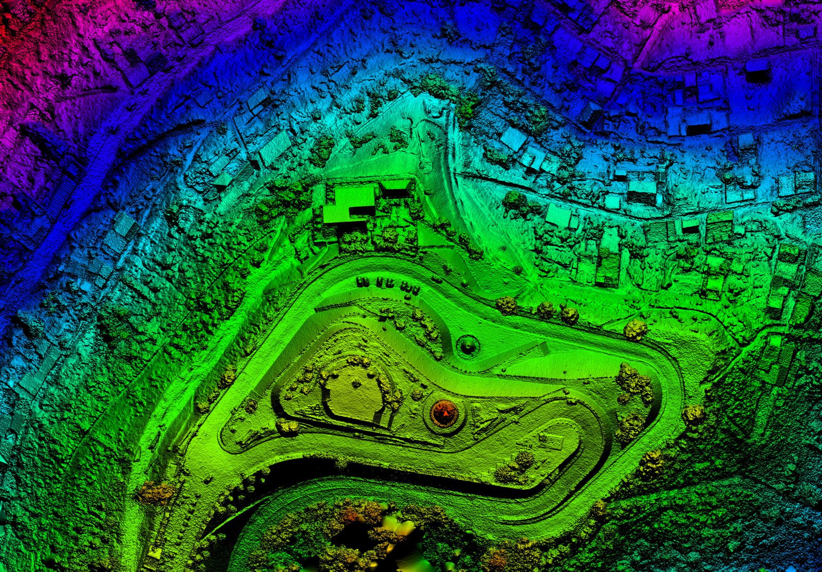
DFW AirView is a nationwide drone services company focused on delivering top-tier aerial imaging data solutions for clients spanning diverse industries. Operating within both commercial and public sectors, our objective is to ensure accessibility and affordability of aerial data for each client, empowering them to effectively tackle challenges through well-informed decisions.
From RGB and Infrared to LiDAR and Hyper-spectral sensors, DFW AirView is well-equipped to capture a wide range of data. Our geospatial experts, along with an extensive network of drone pilots, are prepared to deploy at the necessary locations, utilizing drones, helicopters, manned fixed-wing aircraft, and terrestrial collection methods to offer you the resources required at a cost-effective rate.
We are dedicated to delivering the utmost quality in professional solutions and client services, surpassing your expectations and meeting your specific needs. The collective experience of our team and our adaptive capabilities ensure our competence in successfully completing projects of varying complexities.
Interested in discovering more? Contact us today to receive a complimentary quote.
