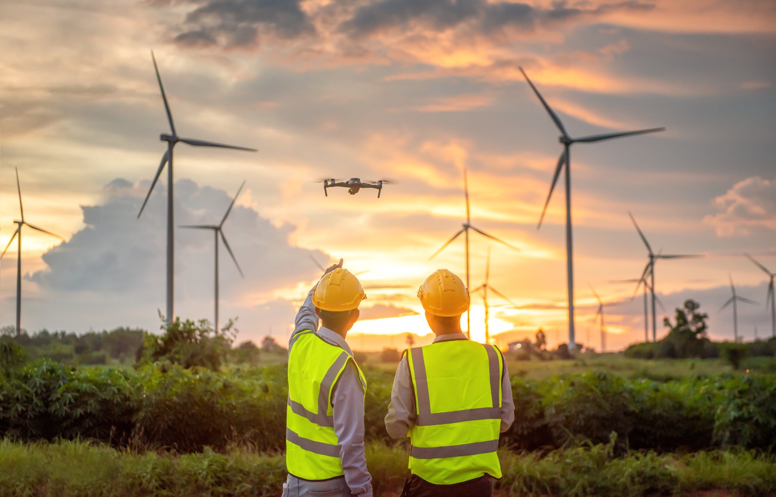
DFW AirView’s nationwide drone services deliver precise, thorough data and high-resolution images crucial for enhancing jobsite safety, reducing expenses, and boosting efficiency across diverse projects. Our extensive network of insured and FAA-licensed pilots collaborates closely with project managers and imaging experts to ensure swift delivery of results at a competitive rate.

DfwAirview collaborates with clientele spanning diverse sectors such as land development, solar farming, forestry, utilities, oil and gas, and engineering. We offer economical data solutions coupled with rapid turnaround times, empowering clients to swiftly make well-informed decisions.
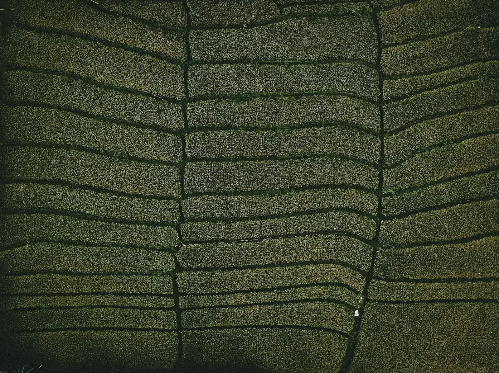
While drones are commonly associated with providing aerial images for marketing and real estate purposes, their utility extends far beyond. At DfwAirview, we’re harnessing their complete potential by coupling advanced sensors and cameras with sophisticated data analysis techniques. This enables us to convert captured images into intricate datasets, 3D models, and beyond, unlocking a realm of possibilities beyond traditional aerial imaging.

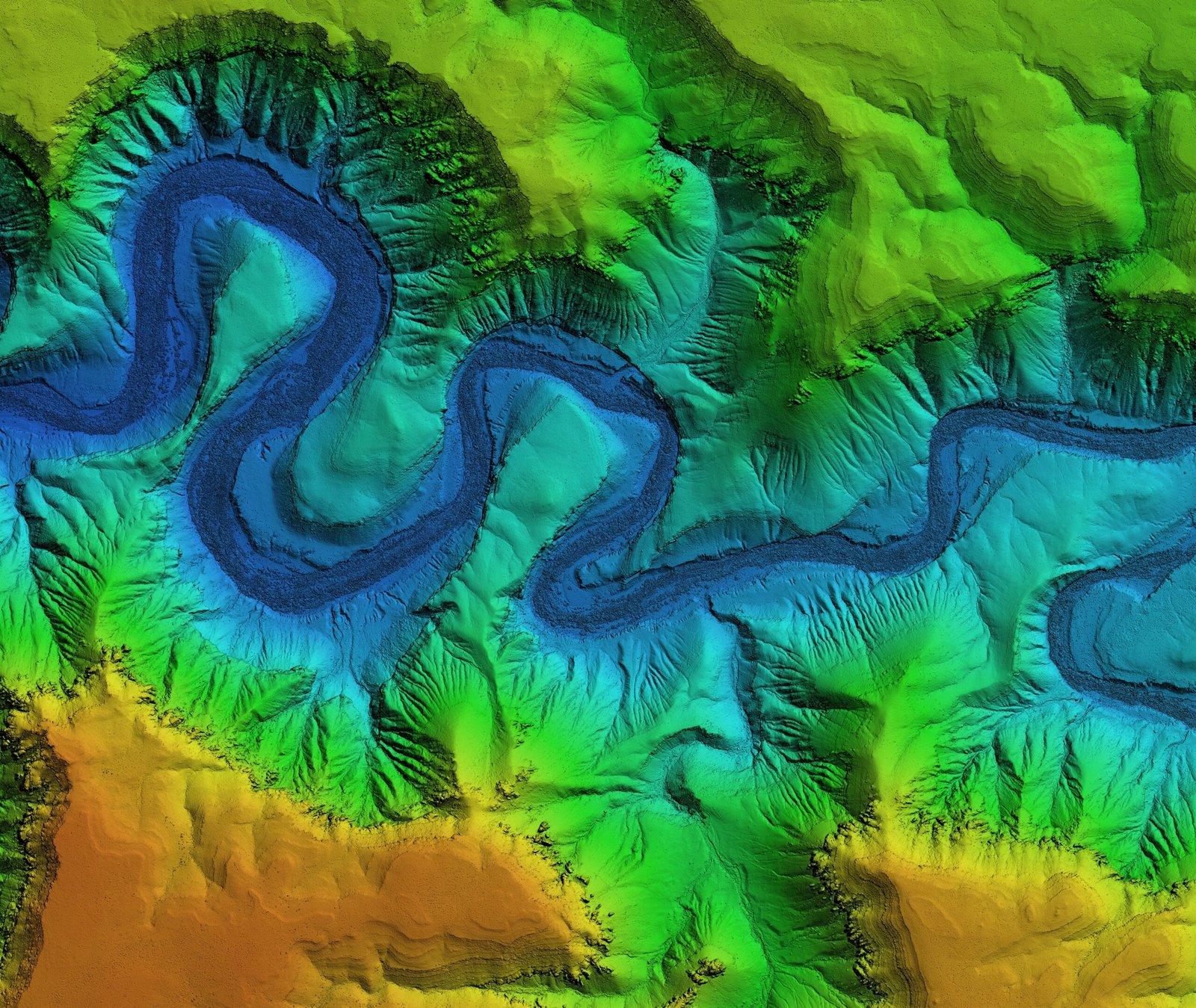
Light Detection and Ranging (LiDAR) represents a rapid and exceptionally precise method for surveying the Earth’s surface by analyzing the reflection of light beams emitted towards the ground. By integrating GPS and inertial measurement unit (IMU) data, LiDAR not only gauges distances but also elevations, enabling the capture of data essential for generating 3D models, topographic maps, and contour maps.

Drones offer the flexibility to capture images from a diverse array of angles, encompassing close-up shots and expansive aerial views. Through consistent adherence to a predetermined flight path over time, organizations gain the ability to effectively monitor and track progress on their construction projects. This approach facilitates the early identification of potential issues, allowing for proactive measures to mitigate problems before they escalate.

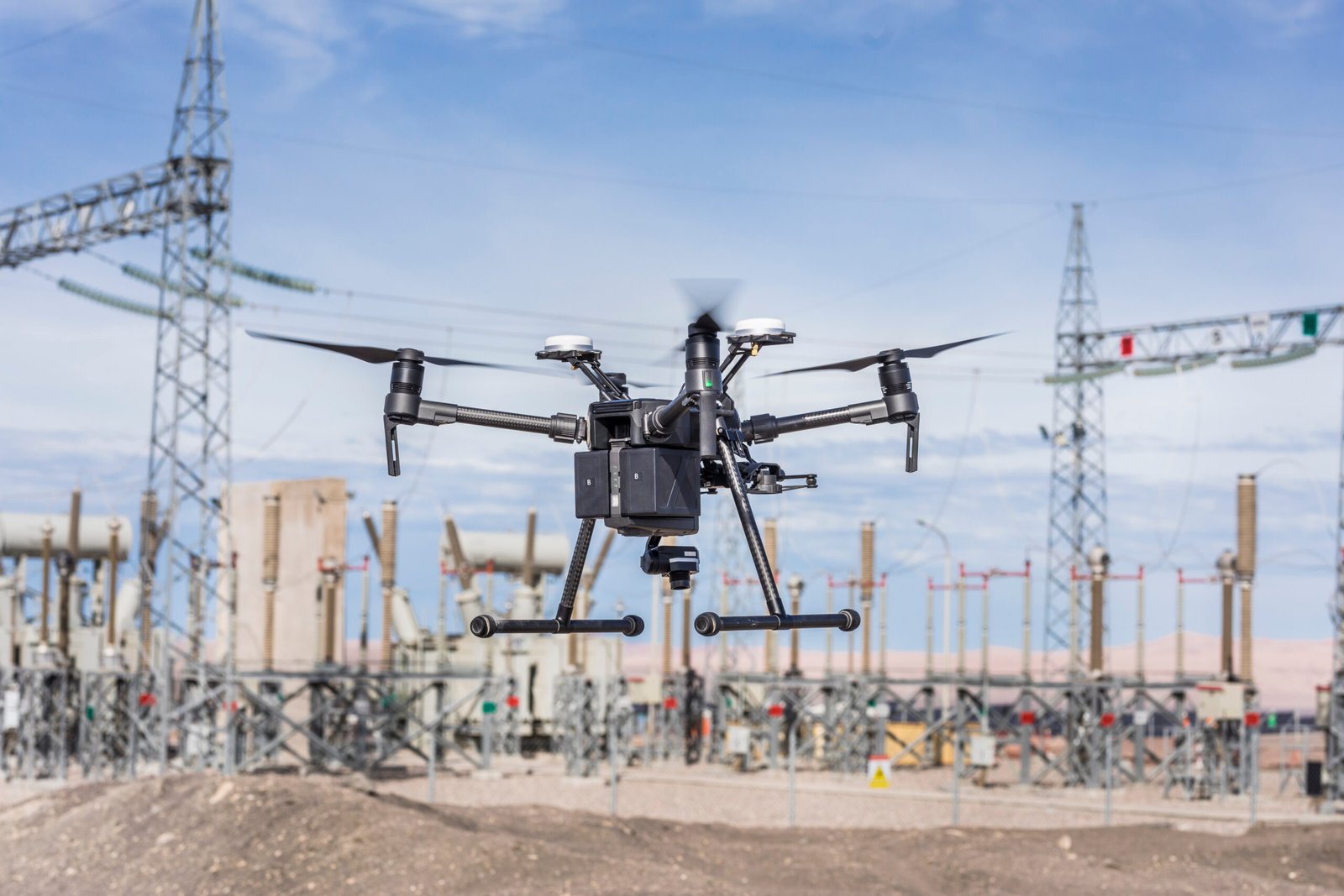
In assessing job sites and equipment to fulfill regulatory mandates and safety goals, drone inspections emerge as indispensable tools for minimizing risk and expenses while optimizing efficiency. Our drones are adept at recording data even in demanding environments, such as atop cell towers and within boilers, enabling inspectors to securely review information and make well-informed decisions.
Drone inspections find application in various industries, including:

Utilizing drone imaging significantly enhances the advantages of industrial photogrammetry, which entails measurements taken using photographs. Through our swift aerial image capturing and remote sensing capabilities, we convert high-resolution images into meticulously accurate, intricately detailed 3D renderings of current structures and landscapes. These renderings prove invaluable in facilitating projects such as mapping and construction planning.