Our agricultural drone services have been instrumental in aiding numerous farms and agricultural enterprises across the country in monitoring crops, overseeing irrigation, supporting precision agriculture, and various other tasks. Begin optimizing your inputs and reducing costs today by utilizing drone solutions.

In the realm of agriculture, it’s imperative for growers to minimize expenses while optimizing the economic output of their land. Factors such as weather fluctuations and land dynamics pose significant challenges, particularly across expansive territories encompassing diverse ecologies, resources, and environmental hurdles.
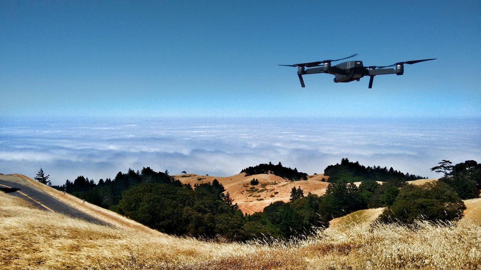
Agricultural drone services play a pivotal role in implementing Precision Agriculture methodologies for enhanced crop and livestock supervision. Drones offer aerial photography and videography, efficiently surveying vast expanses of land to identify areas requiring intervention. By providing instantaneous updates on soil conditions, plant health, moisture levels, and topographical variations, drones facilitate the maximization of yield, reduction of wastage, and enhancement of profitability in real-time.
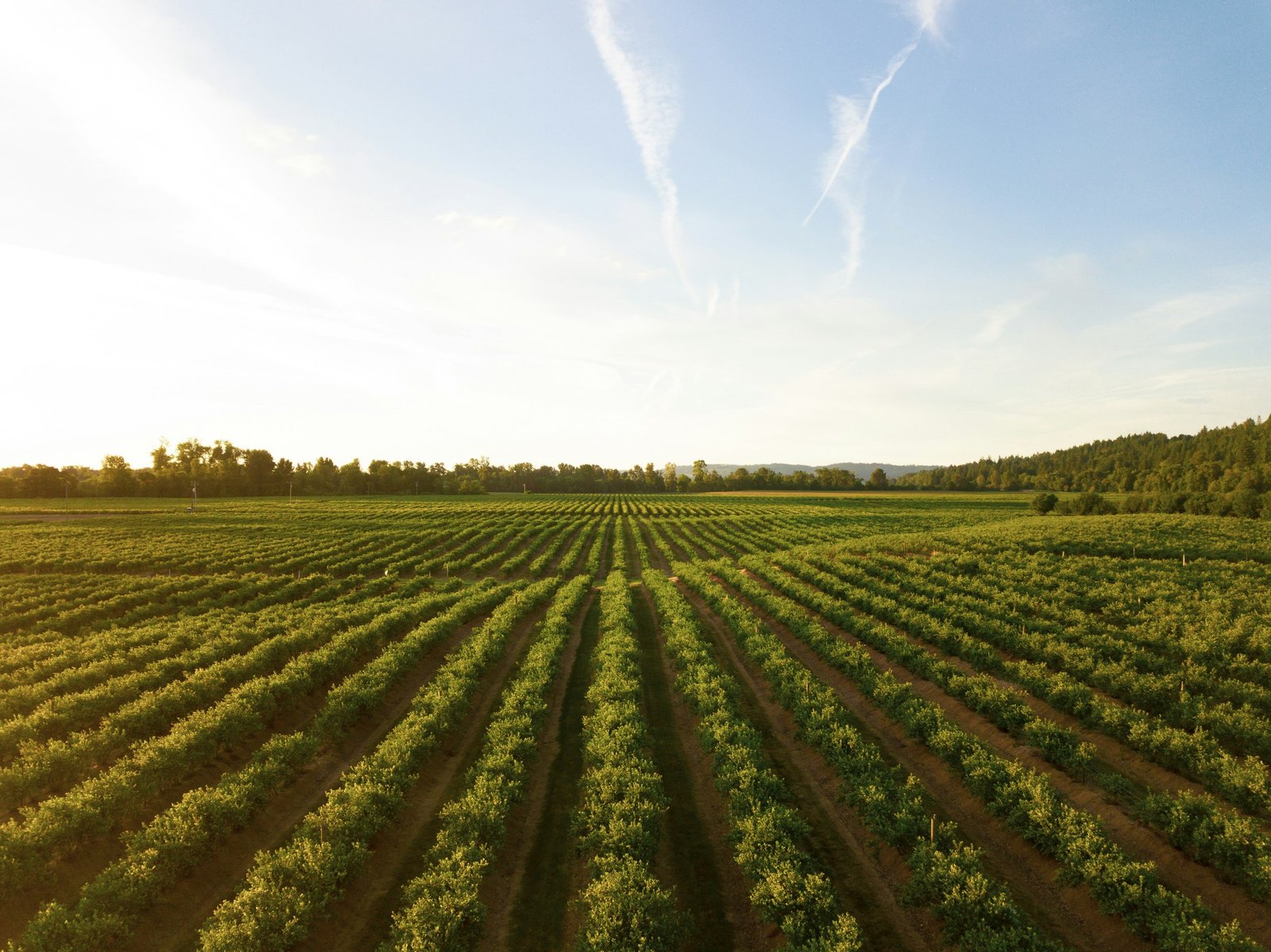
Agricultural drone photography services play a crucial role in empowering farmers to efficiently manage their land responsibilities. Leveraging drone videos and photos proves highly effective in swiftly surveying land and crop features, leading to well-informed resource decisions that cut costs and improve production.
With agriculture drone services, growers can:
DFW AirView drone pilots are certified by the FAA, insured, and equipped with the expertise to capture actionable data for increasing crop yields and land performance.
Reach out to us today to explore how we can help boost your bottom line with actionable insights.

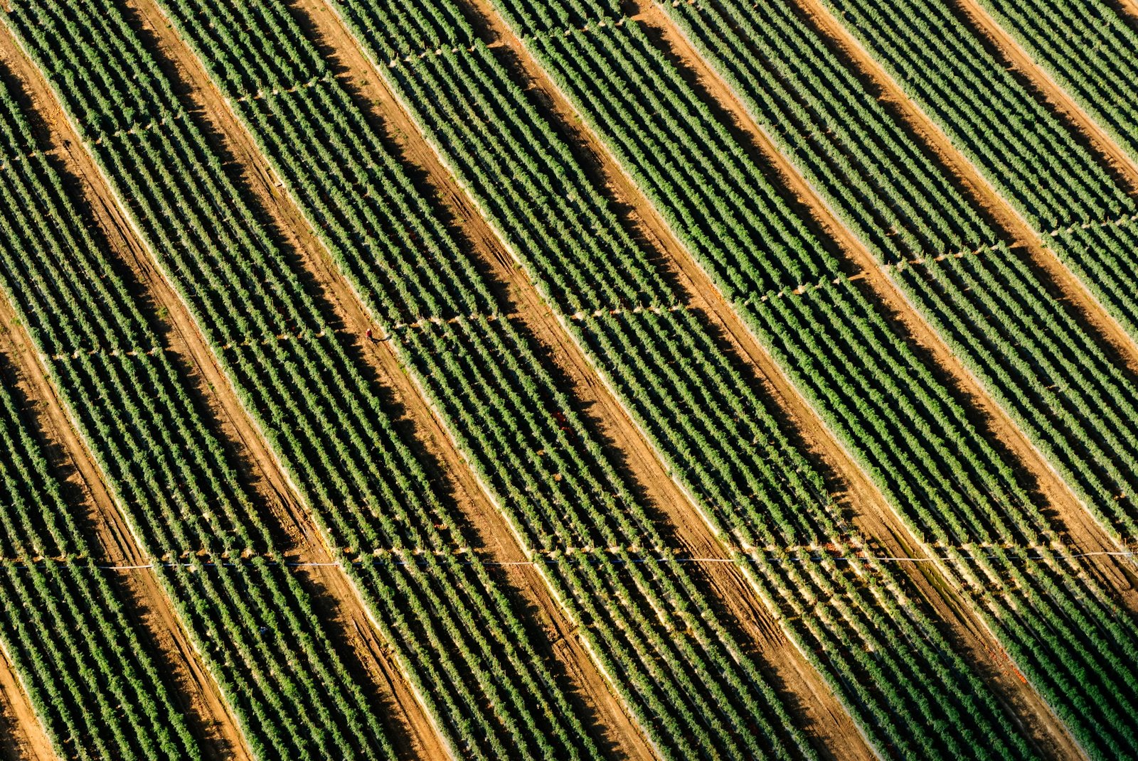
Plant stress is observed in 10% of the field, equivalent to 2.31 acres. Factors contributing to plant stress may include insufficient water or imbalanced nitrate levels.
Recommended Steps:
1. Enhance fertilizer application.
2. Increase watering frequency.
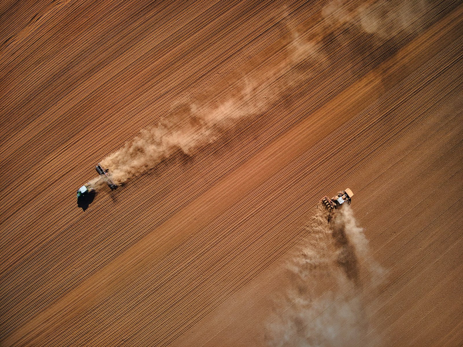
Private landowners and public organizations tasked with managing expansive wilderness areas or rural territories can utilize aerial drone photography to devise effective land management strategies and oversee the ongoing condition of their land holdings.
Through aerial drone photography, land stewards can:
Dfwairview drone pilots are FAA-certified, insured, and possess the expertise necessary to collect essential information for enhancing land management practices.
Contact us today to discover how we can contribute to your stewardship efforts with actionable data.
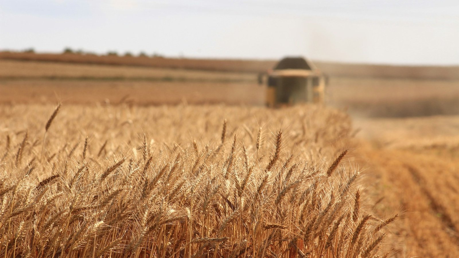
Producers, ranchers, and cattle herders frequently utilize aerial photography drone services to implement Precision Ranching techniques. The data collected through aerial footage aids in optimizing the land’s resources and the producer’s operational efficiency, leading to healthier herds, reduced costs, and more informed business decisions based on reliable data.
With aerial drone photography, producers can:
1. Conduct a thorough inventory of resources, identifying optimal areas for water sources and developing an effective grazing management strategy.
2. Monitor the condition of fencing and pens, saving time and fuel that would otherwise be expended on ATV or vehicle patrols.
3. Assess for damage following severe weather events, saving time and ensuring the safety of ranch personnel.
4. Conduct periodic inspections to count or locate missing livestock and address related tasks. Utilize infrared imaging capabilities, available day or night, to swiftly locate animals.
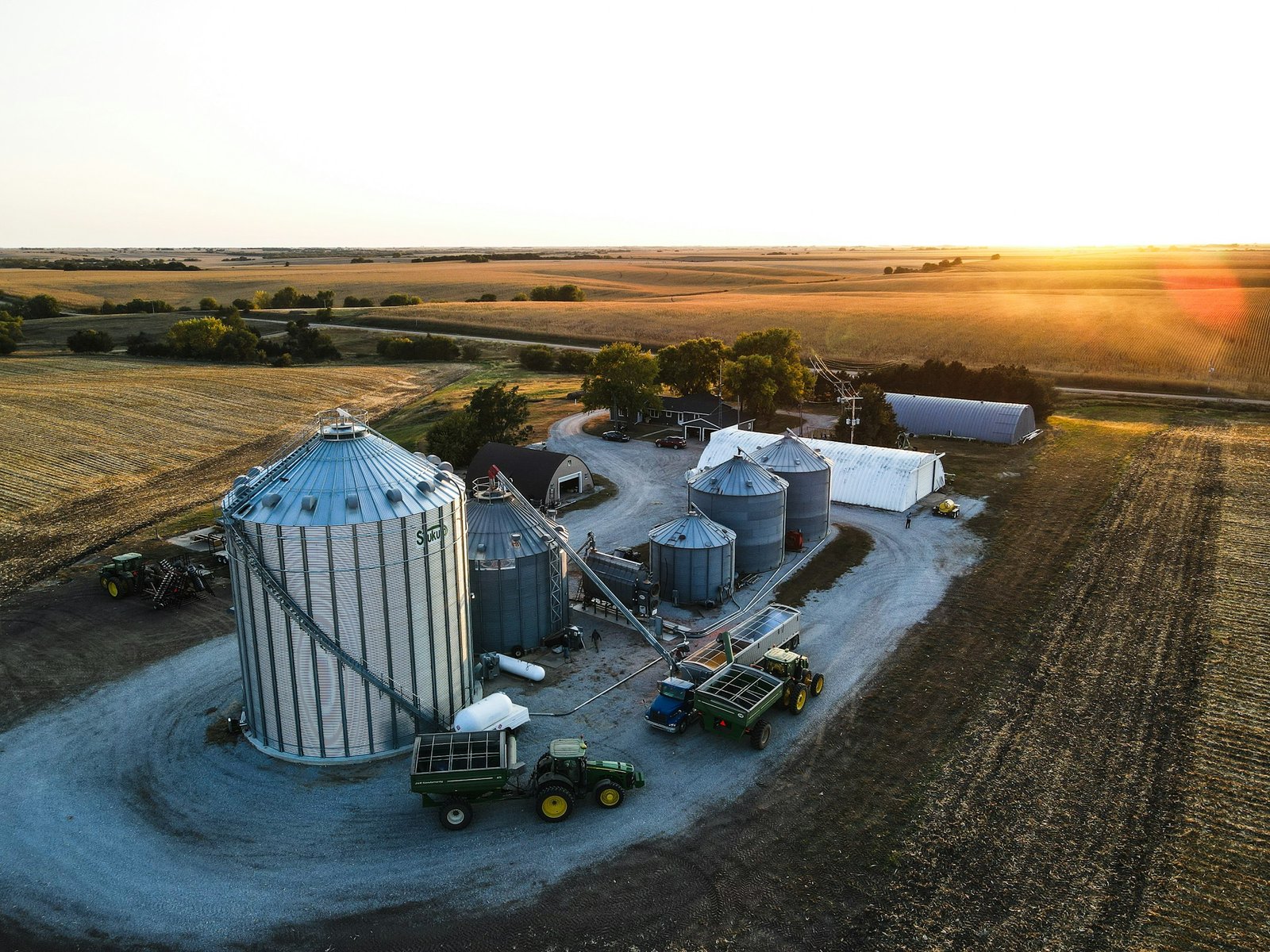
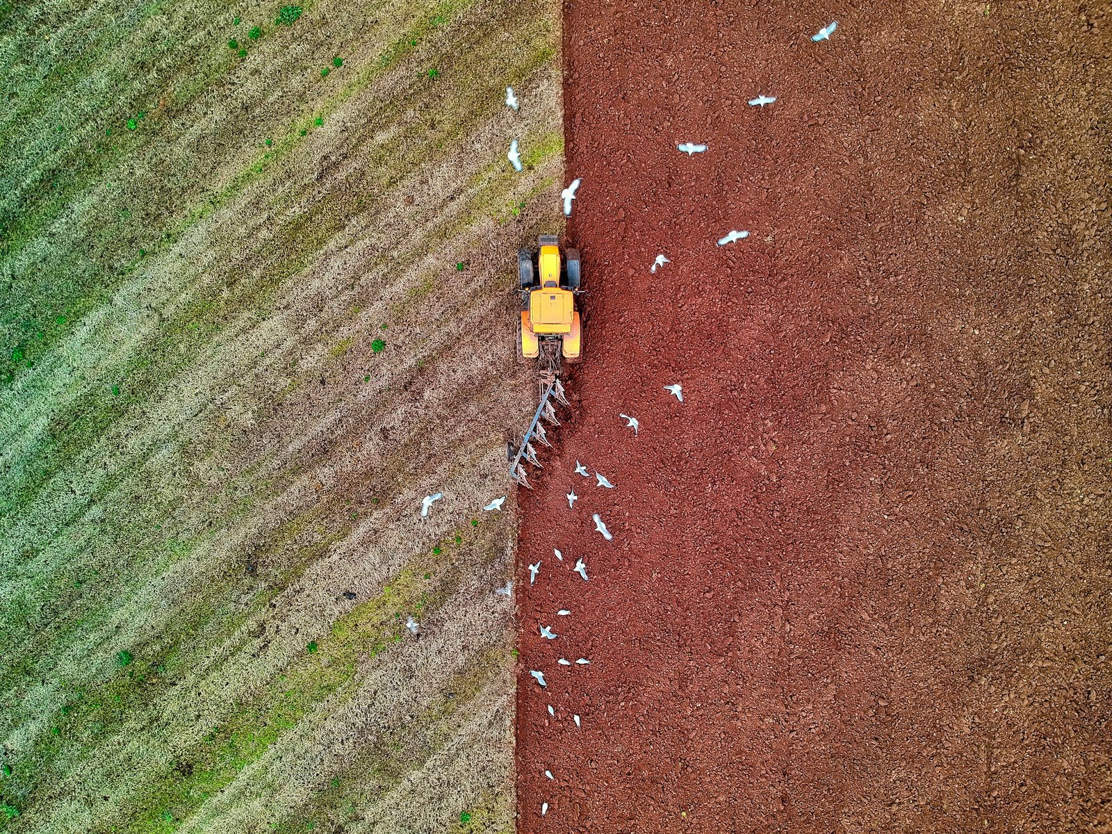
Drone inspections for land and crop management play a crucial role in enabling agricultural businesses to acquire the necessary data for enhancing productivity and minimizing costs. Dfwairview drone pilots are certified by the FAA, insured, and possess the expertise required to ensure optimal livestock management practices.