Drones are transforming the construction industry, offering significant time and cost savings. Traditional construction projects often exceed budget by 80% and fall behind schedule by 20 months, resulting in substantial financial losses for construction companies and stakeholders.
However, with the advent of drone technology, these challenges are being mitigated. Drones facilitate more extensive area coverage during inspections, gather and analyze real-time data, and enable managers and stakeholders to access this information from anywhere globally. This boosts productivity and enhances communication among team members.
Increasingly, drones are becoming a standard presence on construction sites worldwide, viewed as essential equipment for the construction process. From initial planning to project completion, drones streamline workflows and empower all involved parties to maintain direct control over construction progress.
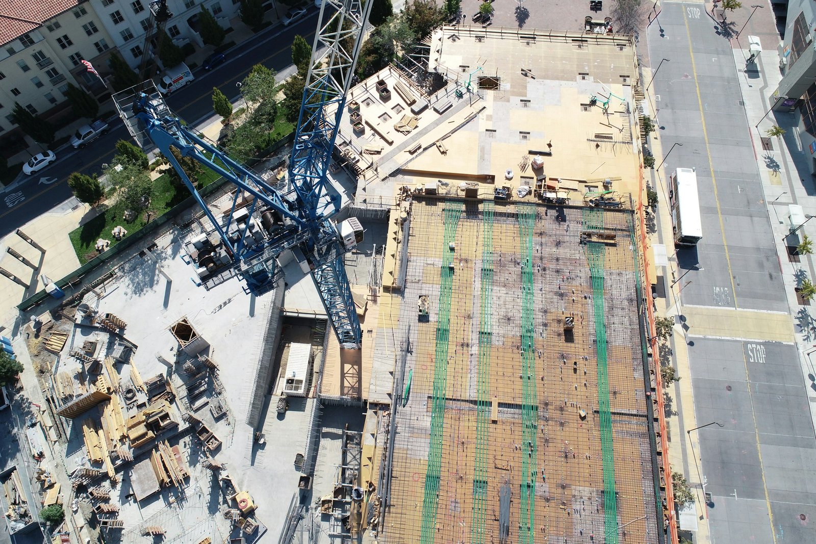
Visual monitoring is crucial on construction sites, and drones offer digital aerial capture from any angle with immediate analysis. This data aids in progress monitoring and making on-the-spot decisions, vital for staying on budget and schedule. Aerial imaging enhances visibility and site access, leading to more accurate reporting, better quality of work, and improved management.
Construction sites are expansive and complex, making aerial footage from drones invaluable for monitoring progress, productivity, and accountability. Drones allow managers to identify issues promptly, addressing them before they impact budget or schedule negatively.
Enhance communication with stakeholders by providing real-time footage of project progress, even remotely. This keeps clients informed and engaged, enabling them to visualize progress and understand the project’s status.
Drone software facilitates seamless data sharing among internal teams, including designers, engineers, inspectors, and workers. Centralized data storage allows easy access for progress checks, issue resolution, and future reference, ultimately enhancing productivity.
Construction sites pose significant safety hazards, with injury rates substantially higher than in other industries. Drones mitigate risks by eliminating the need for manual inspections in hazardous or hard-to-reach areas. This capability ensures inspections can be conducted safely, regardless of circumstances such as adverse weather conditions.
Drones operate quicker and more efficiently than humans, leading to increased productivity and faster project completion. Construction companies and investors save substantial sums in labor costs and time spent on-site, contributing to overall project efficiency and profitability.
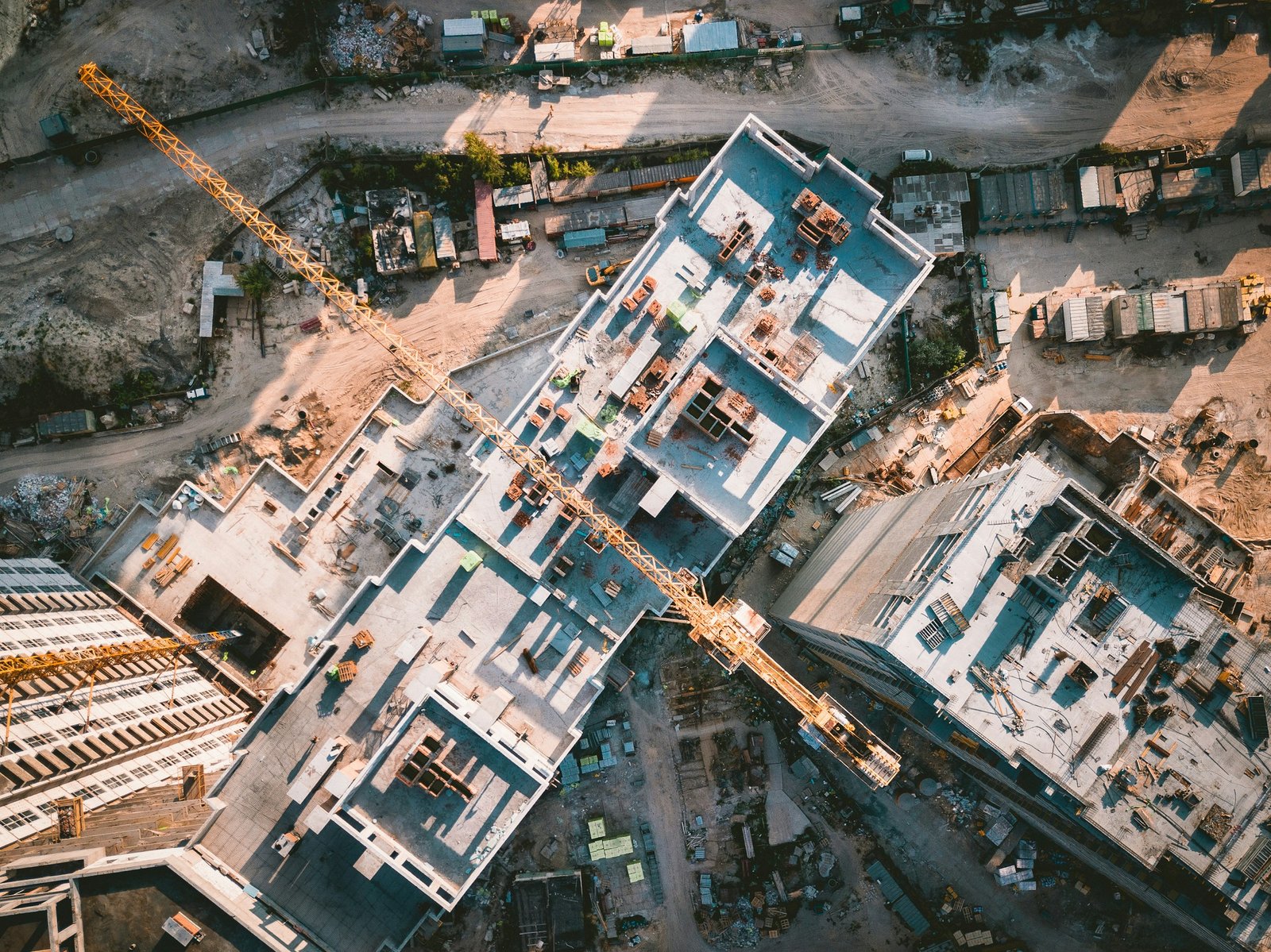
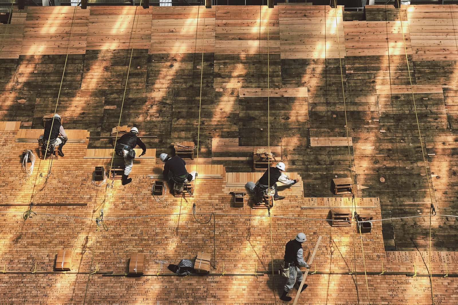
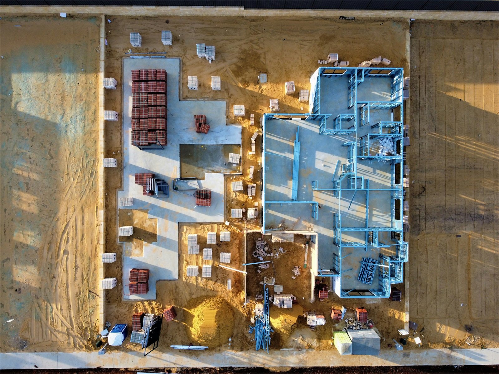
Aerial photography provides a constant and high-quality visual of your construction site, and many deliverables construction professionals need for any project. Drones streamline all your data to create the resources you need to meet your unique goals.
Creating a topographic map isn’t always cost or time-effective through traditional methods. However, drones offer a swift solution by collecting data over extensive land areas in just minutes, enabling the creation of accurate topographic maps. These maps reveal essential terrain information crucial for construction planning.
In coastal restoration projects where material deposition plays a significant role, drones can scan the area and convert collected data into precise topographic maps. These maps facilitate the calculation of material volume deposited, expediting the surveying process while minimizing both time and cost.

High-resolution aerial images can be utilized to generate 3D models, aiding the construction crew in identifying challenges and potential flaws in the design. This proactive approach helps prevent the waste of resources by addressing issues early in the process.
Furthermore, 3D models serve to keep the team aligned with the original design blueprint, ensuring adherence to project specifications. Additionally, these models provide clients with a visual representation of the finished project, enhancing communication and allowing them to better understand the envisioned outcome.

Detecting infrared radiation before significant problems arise can prevent costly setbacks in both time and money. By utilizing infrared sensors mounted on drones, potential issues such as overheating electrical components or structural defects can be identified early, allowing for timely intervention and maintenance.
Additionally, creating precise mapping for construction sites using drones enables more efficient productivity and minimizes waste of materials. Accurate mapping provides construction teams with detailed information about the site’s topography and layout, allowing for optimized planning and resource allocation. This proactive approach helps streamline construction processes, reduce errors, and enhance overall project efficiency.

Drone inspections offer a safer and more efficient alternative to manual inspections. Drones gather precise aerial imagery and data, which is swiftly transmitted to decision-makers. This enables prompt problem-solving or provides valuable data for future assessments.
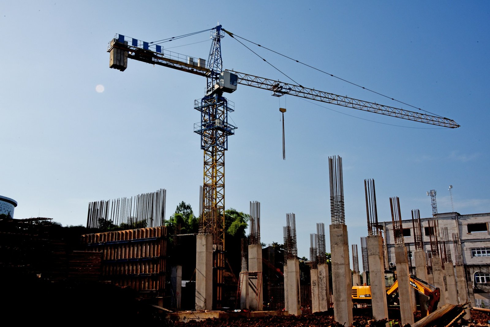
Stunning drone aerial photography offers professional-grade material for marketing purposes, including captivating photos and videos. This digital content allows you to showcase your projects to prospective buyers and advertise your work across various promotional platforms.
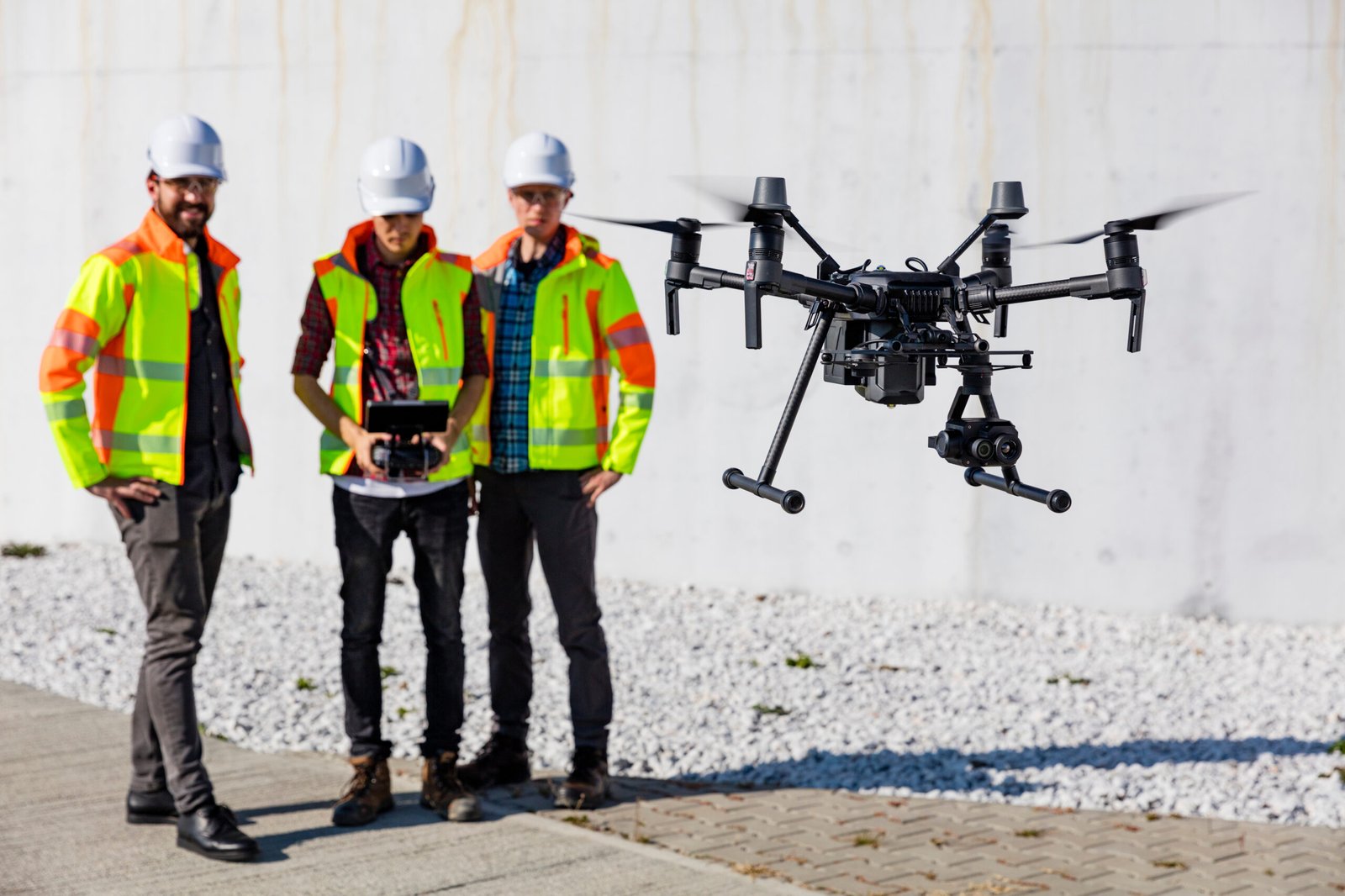
In addition to offering construction drone services, we collaborate with local governments and private contractors on dredging projects preceding land restoration and real estate development. Our drone services deliver crucial data swiftly, expediting the process while ensuring accuracy and efficiency.
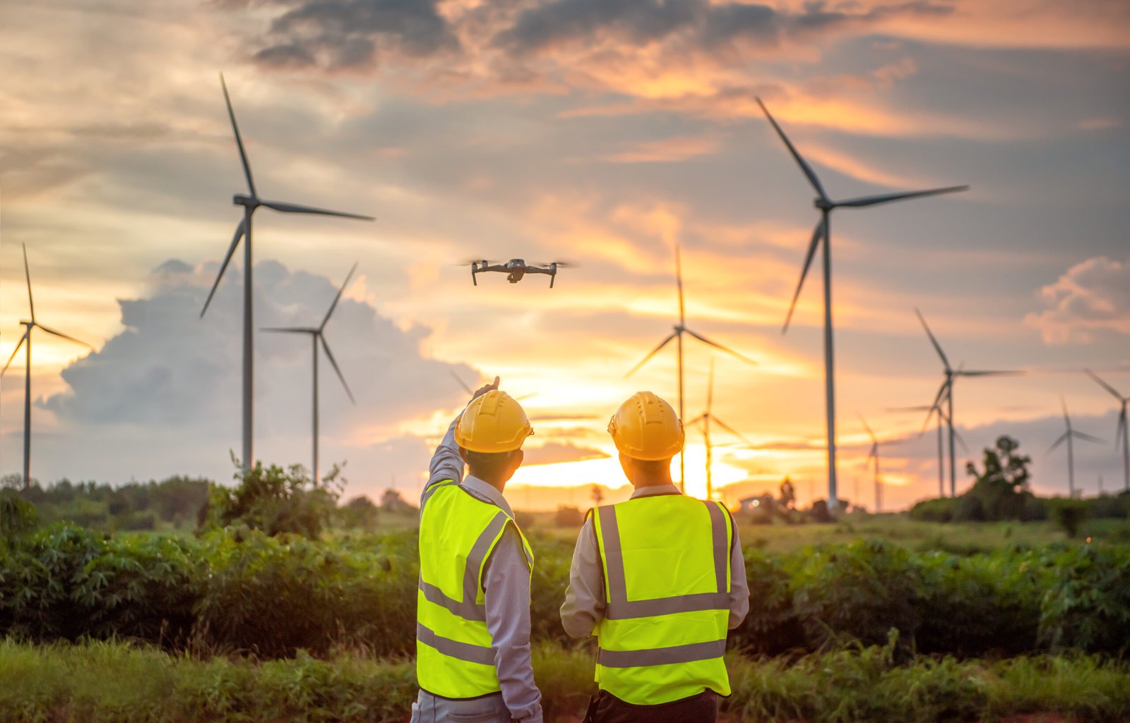
Identifying the optimal location for your construction project before the design phase is essential to mitigate future land issues. Through thorough site assessments using drone technology, we can analyze various factors such as terrain, accessibility, environmental considerations, and regulatory requirements. This proactive approach ensures that your project is situated in the most suitable location, minimizing potential challenges and maximizing project success.
Maintaining client satisfaction throughout the project is crucial, and providing real-time progress updates is key to achieving this goal. With our drone technology, we offer clients the opportunity to stay informed and engaged by providing them with live updates on the project's progress. This transparency allows clients to see firsthand how their investment is progressing and ensures that their expectations are met every step of the way.
Drone services empower you to share live data collection with internal teams and stakeholders, enabling more informed business decisions and immediate problem-solving. By providing real-time insights, drones facilitate proactive decision-making, allowing teams to address challenges promptly and optimize project outcomes.
Utilizing drones on site helps enhance safety for both inspectors and employees, leading to a reduction in work-related injuries and liabilities. By leveraging drones for inspections and data collection, workers can avoid potentially hazardous situations, such as working at heights or in confined spaces. This proactive approach not only minimizes the risk of accidents but also reduces associated costs, including medical expenses and insurance claims, ultimately contributing to a safer and more productive work environment.
With construction site aerial imagery, you can monitor the progress of your project from anywhere, at any time. This capability allows you to address issues promptly, ensure that progress aligns with the schedule, and make informed decisions to enhance procedures. Additionally, you can monitor equipment and employees to optimize efficiency and safety on the construction site. This real-time visibility empowers you to manage your project effectively and proactively, regardless of your location.
Drone technology enables you to assess the productivity of your crew and track lost or damaged equipment effectively. By capturing aerial footage of the construction site, you can monitor the activities of your crew and identify areas where productivity can be improved. Additionally, drones can help you locate lost or misplaced equipment quickly, reducing downtime and minimizing the impact on project timelines. Moreover, by regularly surveying the site with drones, you can detect any damage to equipment early on, allowing for timely repairs or replacements to maintain operational efficiency. Overall, drones provide valuable insights that help optimize crew productivity and equipment management on construction sites.
Drones facilitate streamlined communication among investors, staff, engineers, designers, architects, and management by providing access to real-time data from a centralized database. With drones capturing aerial imagery and data, stakeholders can access up-to-date information about the project's progress and status. This centralized database serves as a hub for all project-related data, ensuring that all team members have access to the same information, regardless of their location. This fosters collaboration, improves decision-making, and enhances overall project efficiency.
By storing comprehensive data from the start to the finish of a project using drone technology, you can significantly improve invoicing accuracy and reduce the time spent calculating costs at the project's end. Drones capture detailed information throughout the project lifecycle, including progress updates, material usage, labor hours, and equipment deployment. This data is stored in a centralized database, providing a comprehensive record of project activities. As a result, invoicing becomes more accurate and efficient, as all relevant information is readily available for reference. This not only saves time but also minimizes errors and discrepancies in billing, enhancing client satisfaction and streamlining financial processes.
With our highly detailed construction site aerial photography and data, we can deliver a more precise and accurate bid package, reducing the need for exclusions due to unknown variables. By leveraging drone technology, we capture comprehensive imagery and data of the construction site, providing valuable insights into site conditions, terrain, and potential challenges. This detailed information allows us to develop bid packages that account for all relevant factors, minimizing uncertainties and improving the accuracy of cost estimates. As a result, our clients receive bid proposals that are more transparent, reliable, and aligned with project requirements, fostering trust and confidence in our services.
Drone data collection surpasses manual methods in accuracy and detail, enabling your company to stand out with cutting-edge technology while helping to minimize investors’ costs.
We specialize in various sectors of construction, including residential, non-residential, infrastructure, engineering, industrial, commercial, and more.
In addition to traditional construction applications, drones offer numerous other benefits on construction sites, including:
1. **Equipment Tracking:** Drones can assist in tracking equipment, ensuring efficient deployment and minimizing downtime.
2. **Volumetrics:** Drones provide precise volumetric measurements, facilitating accurate assessment of materials such as earthworks, stockpiles, and excavations.
3. **Security Surveillance:** Drones enhance security on construction sites by providing real-time surveillance and monitoring, helping to deter theft, vandalism, and unauthorized access.
By leveraging drones for these additional purposes, construction companies can optimize operations, improve safety, and enhance overall project efficiency.
From groundbreaking to opening day, monitoring the progress of your construction project is paramount for keeping investors informed, identifying potential issues, and adhering to timelines and budgets. For extensive endeavors like sprawling infrastructure projects or multi-building complexes, utilizing drone construction progress monitoring proves to be both efficient and cost-effective. By leveraging drones, you can obtain comprehensive aerial views of the project site, track progress in real-time, and promptly address any challenges that may arise, ensuring the successful completion of your next project.
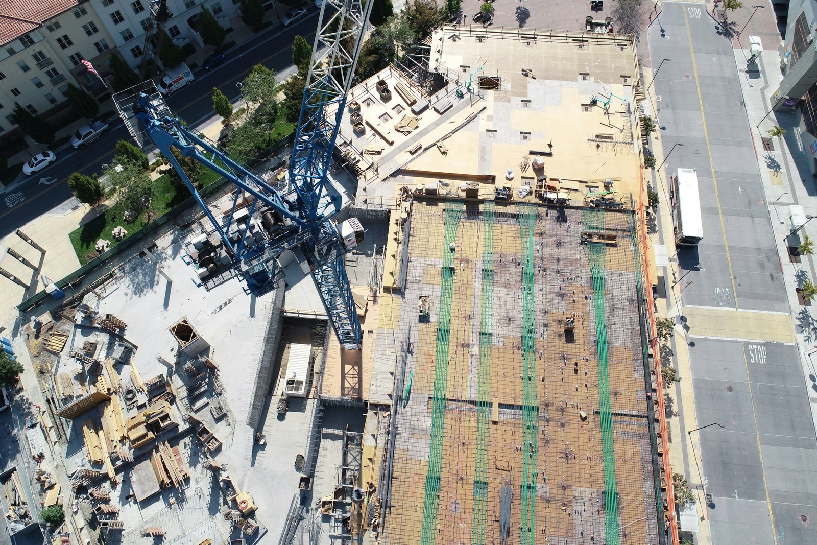
Historically, aerial views of construction sites were predominantly obtained through helicopter photography. However, this method has proven to be time-consuming, costly, and inefficient. Consequently, the utilization of unmanned aerial vehicles (UAVs), or drones, has surged in popularity as a highly effective alternative for construction monitoring.
Drones, piloted by experienced operators, can be deployed high above the job site, transmitting real-time information to engineers and project managers on the ground. Simultaneously, UAVs capture high-resolution images that can be utilized by licensed surveyors and mappers to generate detailed 3D models. Notably, drones have the capability to fly in close proximity to the construction area, capturing close-up shots of multiple sections around the jobsite, providing invaluable insights and enhancing project oversight.
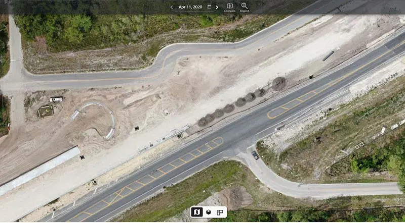
In construction, drones serve various crucial functions, including:
1. **Regular Tracking of Development and Progress:** Drones provide ongoing monitoring of construction sites, allowing for regular tracking of development and progress.
2. **Creating 360° Views:** Drones capture panoramic images, enabling the creation of immersive 360° views of the job site.
3. **Conducting Comprehensive Safety Inspections:** Drones facilitate thorough safety inspections, aiding in compliance with building codes and ensuring a safe work environment for workers.
4. **Quality Assurance:** Drones assist in quality assurance by capturing detailed imagery for inspection and verification of workmanship.
5. **Generating 3D Models:** Drone-captured data is utilized to create detailed 3D models, offering investors a realistic visualization of the project.
6. **Creating CAD Overlays:** Drones overlay CAD designs onto construction site imagery, ensuring alignment with design plans and facilitating better decision-making.
7. **Inventory Management:** Drones help track job site inventory, providing accurate and up-to-date information on materials and equipment.
8. **Identifying Structural Integrity Concerns:** Drones proactively identify areas where structural integrity may be compromised, allowing for timely intervention and maintenance.
Aerial photography provides investors with a comprehensive view of the jobsite, from planning to completion.
Regular and frequent progress scans allow project managers to more accurately determine and update timelines as well as find areas of the project that are behind schedule. Project leaders will also have more opportunities to share up-to-date details with investors and developers, keeping them well-informed and confident in the project.
Our drone teams can scan up to 700 acres in a single day, providing teams with accurate information in a short timeframe.
Drones can be launched at a fraction of the cost of using a helicopter or other aerial methods, keeping construction projects within budget and on-time.
In addition to being a safer method of recording data, drone construction inspections promote safety on the job site by identifying critical safety issues and preventing jobsite injuries.
Drone technology is fueling an ongoing evolution in the architecture and civil engineering sectors, driving enhanced productivity and heightened site safety. Dfwairview utilizes a nationwide network of FAA-licensed and insured pilots, along with seasoned project managers collaborating to deliver premium solutions for architectural and engineering requirements.
Drones offer architects and engineers unparalleled precision and accuracy, revolutionizing the planning, design, and construction of cities and infrastructure. From conducting surveys and mapping to monitoring construction progress and inspecting structures, drones are reshaping the way we approach urban development and infrastructure projects.
Drone Applications in Engineering and Architecture:
Ground Quality Assessments:
Employing thermal and multispectral imaging, we furnish clients with the necessary data for assessing soil and ground quality before commencing construction and conducting environmental impact assessments.
Site Inspections:
Once construction begins, we can capture video and imagery for thorough inspection of every aspect of the construction site, ensuring adherence to safety standards and building codes without the need for manual inspections by workers.
Project Monitoring and Oversight:
Our pilots capture both expansive aerial views and detailed images to monitor progress at the construction site. Our monitoring services enable swift issue identification, delay determination, and seamless information sharing with stakeholders or regulatory bodies.
Creating Digital Twins:
Numerous assets, such as highways, roads, dams, and bridges, stand to benefit from having digital twins—a real-time digital counterpart of physical objects. Our drones can capture the requisite datasets to facilitate the creation of digital twins, empowering engineering firms and asset owners to effectively monitor their assets.

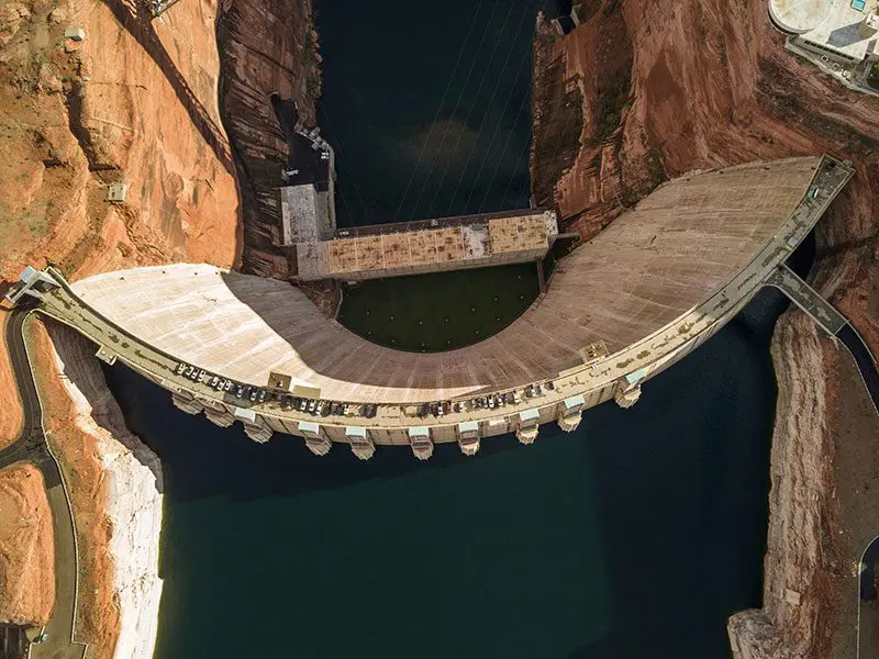
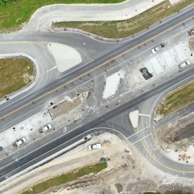
The architecture industry has always been driven by innovation and technology. Since the advent of drone technology, architects have utilized aerial photography and videography to gather precise information about a site’s topography and landscape, monitor construction progress, and improve site analysis. Drones can perform tasks that would have been too time-consuming or dangerous for human workers.
One of the most crucial tasks in architecture is site analysis. Before planning construction, architects need to know about a site’s topography, soil composition and the surrounding environment. Drone services can provide an efficient and accurate way to gather this information. Using drones, architects can capture high-resolution aerial images and 3D maps of the site. This data can create topographical maps, elevation maps and digital terrain models (DTMs) that aid site planning, design and construction.
The architecture industry has always been driven by innovation and technology. Since the advent of drone technology, architects have utilized aerial photography and videography to gather precise information about a site’s topography and landscape, monitor construction progress, and improve site analysis. Drones can perform tasks that would have been too time-consuming or dangerous for human workers.
Drones can capture high-resolution aerial images and create 3D models of the terrain, which can help engineers to plan and design infrastructure projects, such as roads, bridges, and railways.
Drones can provide real-time information about the progress of a project. Drones can capture images and videos of construction sites, which can help engineers identify potential safety hazards and address issues before they become problems.
Drones can inspect infrastructures like bridges, dams, and power lines. Drones can capture high-resolution images and videos, which can be used to identify structural issues, defects, and other problems.
Drones can monitor the environment to help design sustainable infrastructure projects to minimize their impact on the environment.
Drones capture images and videos of affected areas, which can help engineers to plan and prioritize their response efforts.
The safety of workers stands as the utmost priority on any project. Drones play a pivotal role in ensuring site safety by furnishing the requisite data and imagery while enabling workers to remain safely on the ground. From conducting area assessments to performing site inspections, Dfwairview gathers thorough data without exposing crews to hazardous areas.
For projects operating on tight schedules, even minor delays can have disastrous consequences. Drones serve as invaluable time-saving tools by swiftly scanning large areas to gather data for safety and maintenance purposes without necessitating the shutdown of the entire site.
By prioritizing worker safety and maintaining project schedules, drones effectively minimize operating costs while ensuring the quality and accuracy of data remain uncompromised. Additionally, drone data furnishes valuable insights crucial for informed decision-making in project planning and facilitates accurate and efficient progress tracking.
Dfwairview boasts a nationwide network of FAA-certified and insured pilots, primed to collect aerial data for your upcoming project. Whether it’s from the blueprint phase to groundbreaking and ultimately to ribbon-cutting, Dfwairview stands prepared to accompany you through every stage, providing meticulous and precise details. This ensures a seamless workflow and ultimately leads to successful project outcomes.