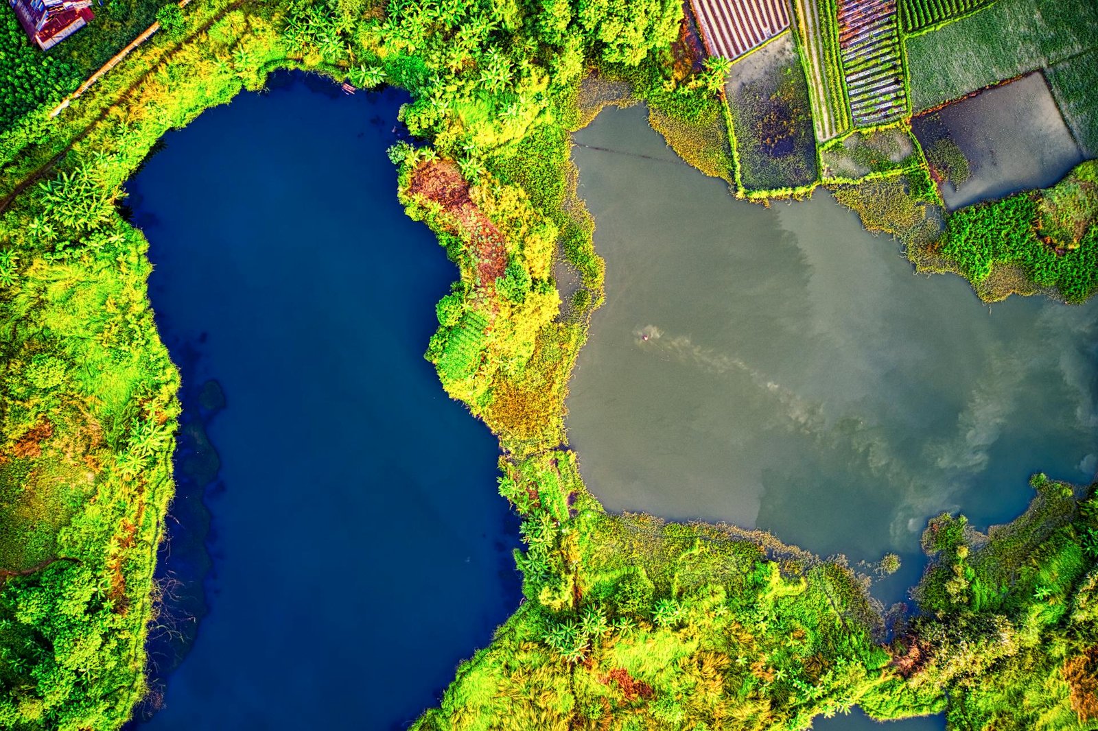
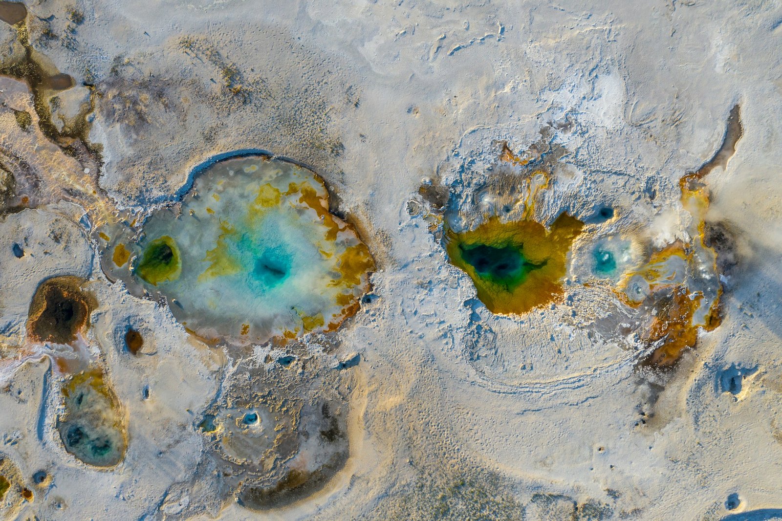
Virtually every industry stands to benefit from aerial imaging. Leveraging photography and videography captured from a bird’s-eye view offers the desired attention and visibility for a myriad of purposes, ranging from marketing and site inspections to thermal energy detection. Aerial images can undergo further processing to yield valuable insights, revolutionizing sectors like agriculture. Why settle for mundane and ineffective ground-level photography and video when aerial drone imaging offers a superior alternative readily available?


Aerial imaging generates interest and excitement in your audience and prompts action: more vacation bookings or high-end homes sold. A better fan experience. Quicker and more efficient inspections. The panoramic aerial vantage point is sure to amaze and inspire action.
Stunning HD aerial still and video imagery can be used for TV or movies, sporting or concert events, or corporate/brand marketing.

Anything with a temperature above absolute zero emits infrared radiation. A thermal imaging camera utilizes this phenomenon to highlight temperature variations that would otherwise go unnoticed, offering visual insights into an environment even in the absence of light.
Aerial thermal imaging, a versatile tool with numerous applications, equips safety personnel with essential insights for combatting active wildfires. In construction settings, it serves to identify water leaks or energy loss.
In precision agriculture, aerial thermal or near-infrared imagery plays a crucial role in enhancing crop production by assessing soil conditions, identifying weed outbreaks, and evaluating crop consistency.

DfwAirView’s LiDAR-capable drones stand as a formidable resource for mapping land formations or bodies of water, offering scientists and surveyors a notable advantage with accurate topographical imagery.
Topographic imagery serves various purposes, including supplying data for geographic information systems utilized in emergency response. In the realm of civil engineering, contractors also leverage drone technology to aid land development projects, achieving cost savings compared to traditional manned aircraft approaches.

Several images can be merged to produce a meticulous photographic map, undergo geometric correction to eliminate distortion, surpassing the capabilities of a typical 2D map. Integrating an array of aerial images with modeling software for the generation of 3D or volumetric models empowers experts to efficiently and cost-effectively assess topography, track project advancements, or monitor soil erosion.
From mines and quarries to challenging structures and remote areas, numerous settings pose logistical challenges and safety risks that hinder conventional solutions. Luckily, drones have the capability to navigate environments where larger aircraft cannot, and they can access sites deemed unsafe for human presence. Aerial imaging through drone technology also offers a more thorough understanding of your assets and projects. With drones, the possibilities extend beyond the sky; the only boundary is your creativity.
Situated throughout the United States, DfwAirView’s drone pilots possess professional certifications, full insurance coverage, and compliance with FAA regulations.