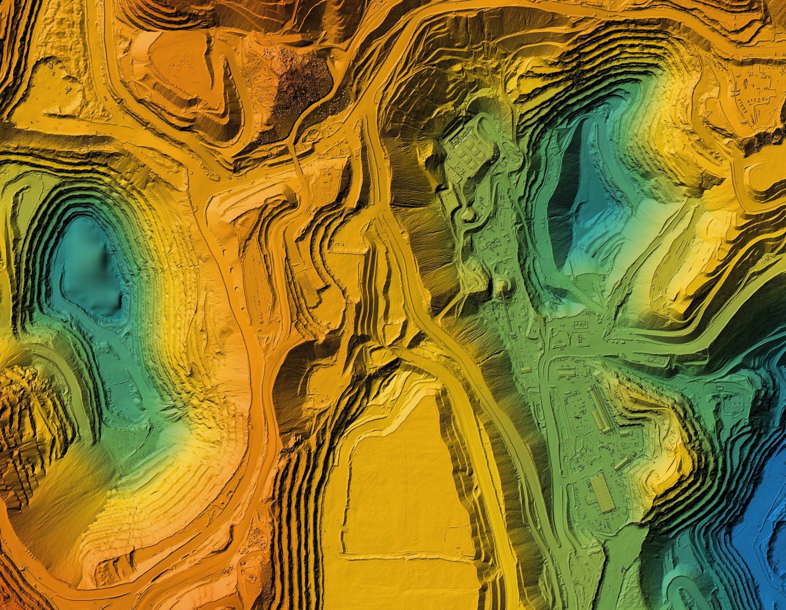
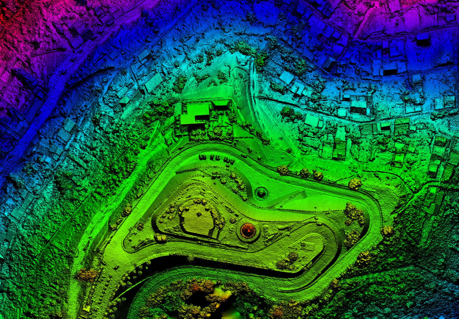
Licensed surveyors and engineering firms nationwide are increasingly depending on DFW AirView for their LiDAR drone service needs. Our skilled services, combined with cutting-edge sensors, result in considerable time and cost efficiencies.
700 acres per day
DJI Zenmuse L2 Lidar
DFW AirView provides nationwide clients with remote sensing services, consultations, and rental options. With a proficient team of geospatial specialists, internal project managers, and a wide network of skilled pilots, we’re ready to deploy at your convenience. Our operations include cutting-edge equipment like the DJI Zenmuse L2 LiDAR sensor, enabling scanning of up to 700 acres daily. We prioritize delivering top-tier aerial imaging data swiftly and affordably, boasting competitive pricing models.
LiDAR (Light Detection and Ranging) is an advanced remote sensing technology that uses laser pulses to accurately map terrain features in three-dimensional space. Mounted on aircraft or drones, LiDAR systems emit laser pulses towards the ground and measure their return time to calculate distances. This data, collected alongside GPS and IMU data for precise positioning, creates detailed digital representations of scanned areas, known as point clouds. These point clouds are then used by professionals for applications such as terrain modeling, land cover mapping, and environmental monitoring. Overall, LiDAR provides a powerful and precise tool for understanding and mapping the Earth’s surface.
Professionals use LiDAR across different fields for a variety of
applications, such as:
Agriculture
Archaeology
Autonomous Vehicles
Biology and Conservation
Geology and Soil Science
Law Enforcement
Military
Mining
Solar
Professional Surveyors
Forestry Management
Oil and Gas
Professional Engineers
Land Development
Building Modeling
Railway Inspection


LiDAR-equipped drones can reach ground surfaces through small openings in the canopy of foliage and plant life, capturing data difficult to collect by traditional methods – especially useful for industries such as agriculture, forestry, surveying, and land management / development.
LiDAR data can be used by licensed professionals to create high-precision 3D models that deliver robust information not possible by traditional means, such as finding the low points on farmland for irrigation planning. Useful for many industries, including land management, agriculture, civil engineering, and construction.
LiDAR-equipped drones can fly at low altitudes and reach ground surfaces through heavy vegetation, enabling precise collection of locational data. This is especially valuable for archaeology, forestry, land development, and energy and utilities.
LIDAR technology captures critical data that helps licensed professionals protect and restore vulnerable coastlines. Through consistent flights over an area, ongoing patterns of erosion, coastline shifts, and other changes can be detected over time and managed accordingly.
With the ability to obtain highly-detailed elevation data, LiDAR helps licensed professionals with terrain mapping when planning utilities or construction projects. It can help those professionals in ongoing ROW encroachment monitoring by exposing tree canopies hanging over transmission lines, allowing asset managers to quickly pinpoint and address critical service needs.
LiDAR drone technology can be used to collect data that will enable licensed professionals to measure the volume contained within an area. Helpful for mining, aggregate stockpile measurement, dredging, landfills, industrial sites, or other locations where volume measurement is vital.