Take marketing and promotional material to new heights with high-quality drone photography and videography from Dfwairview. Our FAA-certified and fully insured UAV pilots can capture high-definition video, 360° panoramic photos, and more to create majestic, alluring, and captivating marketing and media campaigns.
Drones are transforming how the vacation industry, real estate agents, and property developers show their properties. Whether with aerial photography highlighting a wide variety of angles and views or videography that can be used to create highly detailed virtual tours, Dfwairview can create immersive media to elevate and transform marketing.
Whether the goal is to attract new members to a country club, draw visitors to a resort, or bring investors to a commercial property, drone photography and video transport the viewer to the site, providing an up-close, highly-detailed experience. Broad views highlighting the scope and depth of the property increase market reach and engagement.
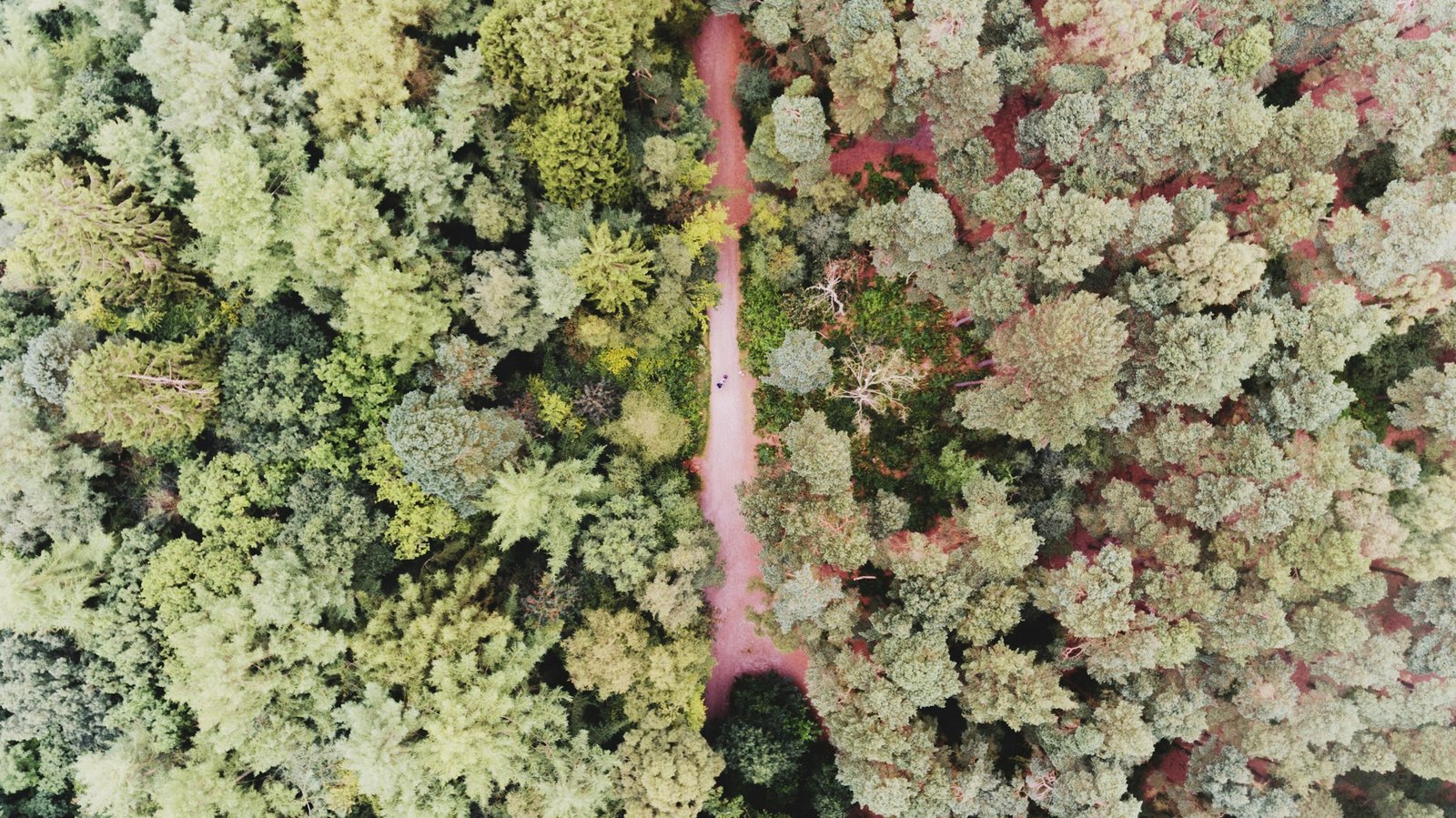
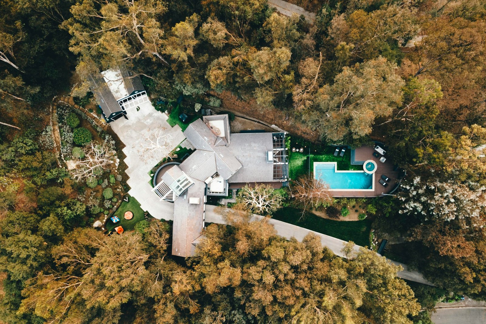
1. Highlight the area around a property: Drone photography allows you to showcase not only the property itself but also its surroundings, including nearby attractions, scenic landscapes, and other points of interest. This provides potential buyers or visitors with a comprehensive view of the neighborhood and its amenities.
2. Provide never-before-seen viewpoints: Drones can capture aerial perspectives that are impossible to achieve with traditional photography. This unique vantage point allows you to showcase the property from different angles, providing viewers with a fresh and captivating visual experience.
3. Offer immersive marketing videos and virtual tours: Drone videography enables you to create dynamic and immersive marketing materials, including videos and virtual tours. These interactive presentations allow viewers to explore the property in detail, providing a realistic preview of what it has to offer.
4. Update websites with high-definition content: Drone photography and videography produce high-definition images and videos that can enhance the visual appeal of your website. By updating your site with fresh and engaging content, you can attract more visitors and keep them engaged for longer periods.
5. Create stunning printed materials: The stunning visuals captured through drone photography can be used to create high-quality printed materials such as brochures, flyers, and posters. These materials can be distributed to potential clients or displayed at events to showcase your business in the best possible light.
We provide comprehensive aerial photography and videography services to numerous industries, expanding the reach of our image capturing services far beyond marketing and media.
Dfwairview's drone photography services are increasingly popular among real estate agents and property management firms aiming to enhance their property marketing strategies. Accelerate the sales or rental process of homes and properties by leveraging high-quality images capturing the surroundings, showcasing amenities, and presenting the property in its most favorable light.
With aerial photography, golf courses can elevate their marketing efforts to new levels of immersion and sophistication. Captivate golfers with intricately detailed visuals showcasing the entirety of the golf course.
Attract a larger audience to hotels, resorts, or vacation destinations by showcasing stunning aerial imagery and videos that highlight the scenic beauty of the location and spotlight its amenities, instantly captivating viewers.
Our drone pilots are adept at capturing images and videos to gather data, monitor progress, and compile impressive time-lapse videos showcasing the project's evolution from start to finish. Our site monitoring services also ensure stakeholders and investors are kept updated and informed about the progress.
Dfwairview offers golf course drone photography services, encompassing marketing videos, drone inspections for maintenance and construction purposes, as well as aerial mapping. The captured aerial footage can also be utilized in developing a distinctive Digital Yardage Book application.
Dfwairview offers comprehensive golf course drone photography services, which include producing marketing videos, conducting drone inspections for maintenance and construction purposes, and performing aerial mapping. Additionally, the captured aerial footage can be utilized to develop a distinctive Digital Yardage Book application.
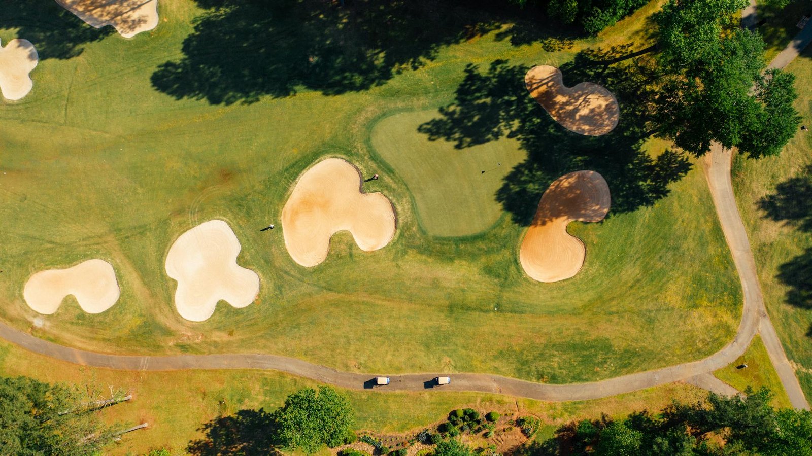
Golf courses encounter the challenge of presenting their expansive beauty while providing intricate details to enhance players’ experiences. Traditional ground-level photography and marketing methods are insufficient in today’s digital era, and using helicopters or planes for flyover imaging is expensive.
Aerial photography serves as a solution for golf courses to market their properties effectively, offering advanced and immersive collateral.
Dfwairview offers golf course drone photography services, encompassing marketing videos, drone inspections for maintenance and construction purposes, and aerial mapping. The captured aerial footage can also be utilized to create a unique Digital Yardage Book application.
Drone photography for golf courses swiftly captures aerial images and comprehensive ground data at an affordable rate. These visuals and data can be utilized in various marketing strategies to inspire players to enhance their game. Moreover, the stunning imagery can be leveraged across digital platforms and in print materials. Beyond marketing, utilizing drones for data collection assists maintenance crews in effectively overseeing and maintaining the course.
Aerial photos and videos offer a comprehensive view of the beauty and distinctive terrain of your golf course, surpassing the capabilities of ground-level images. Our skilled drone pilots specialize in capturing compelling drone golf course photography that showcases the quality of the course and the intricacy of its holes, captivating golfers and enticing them to visit.
Orthomosaic Course Map: We specialize in creating seamless orthomosaic maps by combining multiple images of the entire golf course. These maps are perfect for annotation, collaboration, and sharing purposes, offering superior detail compared to platforms like Google Earth.
Promotional Videos: FlyGuys excels at capturing raw aerial footage that can be professionally edited and set to music, resulting in engaging promotional presentations. Share these videos across digital platforms to highlight your course’s amenities and attract more visitors.
Aerial Pathways: Experience the golf course from the perspective of a golf ball with our aerial pathway services. We produce stunning videos and models of the holes, providing golfers with a unique and immersive navigation experience through each course.
Dfwairview can gather the essential data required to develop a cutting-edge yardage book that outshines traditional paper-based versions. Say goodbye to hand-drawn sketches and animations – our drones will capture real course imagery and videos that are both visually stunning and precise.
Benefits for Golfers: Enhances the pace of play by removing blind spots and enabling players to strategize their game in advance, akin to how NFL athletes analyze game footage ahead of match day.
Benefits for Course Owners: Presents an avenue for cross-selling and upselling to customers while offering a contemporary amenity that enhances the overall experience of the course.
The quality of any golf course is intricately linked to the state of its greens. By utilizing drone images and video, Dfwairview can streamline and accelerate the maintenance and enhancement of golf courses.
Comprehensive Course Oversight: Gain insights into the condition of your greens and optimize resource allocation, such as labor and water, more effectively.
Irrigation and Course Health: Identify irrigation issues that may not be apparent during ground-level checks, ensuring the optimal health of the course.
Strategic Planning and Expansion: Obtain comprehensive data to envision and execute golf course redesigns or expansions, including tasks like tree removal and selecting building sites. Leveraging our advanced drone sensors, we can aid in surveying, mapping, inspections, and monitoring construction progress.
Join the expanding community of golf courses leveraging Dfwairview to streamline maintenance, planning, and marketing efforts.
According to the National Association of Realtors (NAR), 90% of home buyers discover property information online. Agents equipped with comprehensive, compelling imagery are often rewarded with more leads, quicker sales, and future listings. This makes drone photography an essential tool in real estate marketing.
Drone photography services provide numerous benefits for residential properties. Affordable and efficient, drone aerial imagery delivers high-resolution images that can maximize sales and enhance property management.
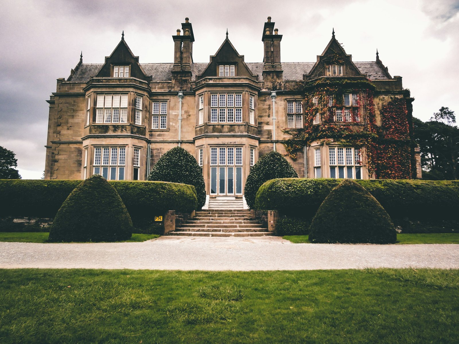
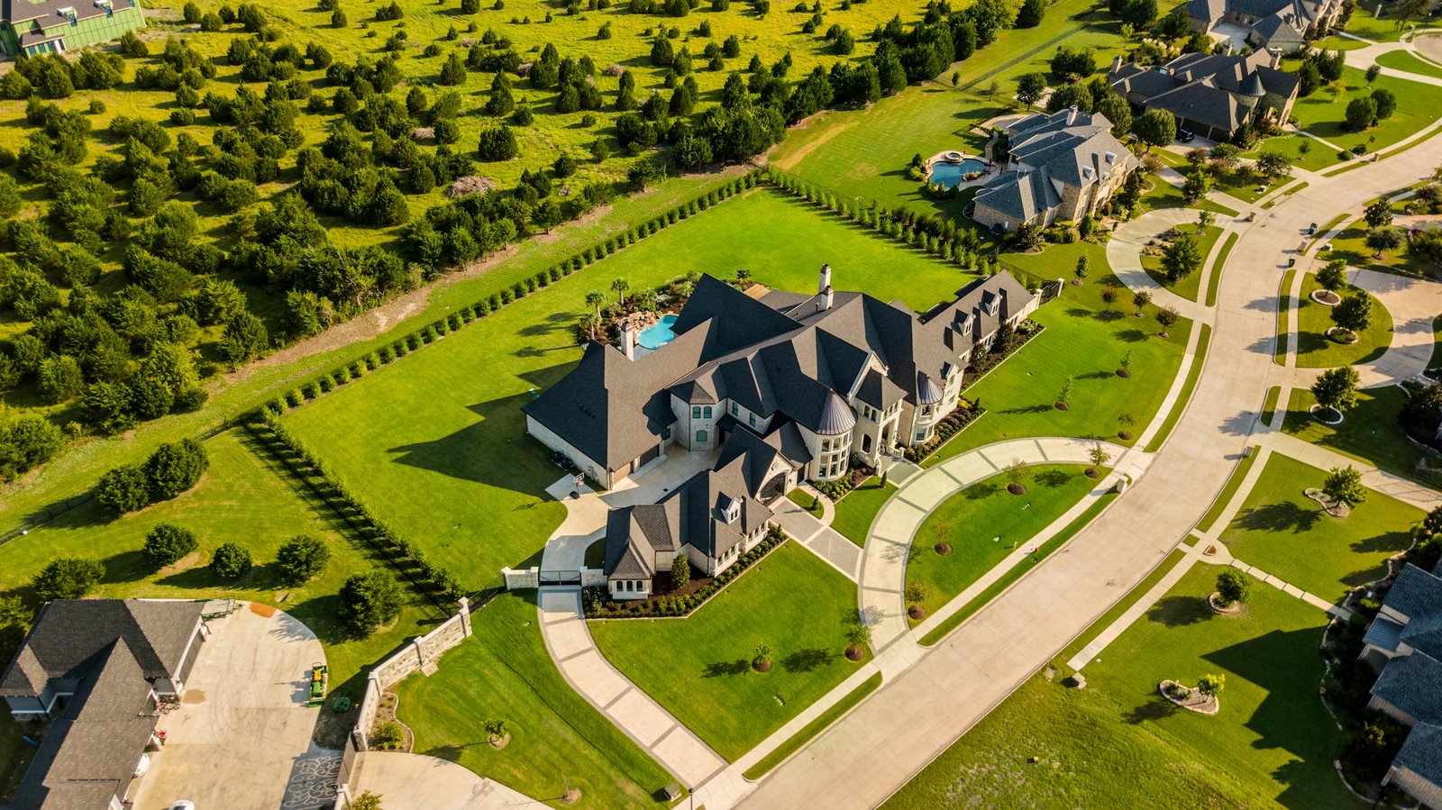
Capture expansive aerial views: Dfwairview excels at capturing breathtaking aerial perspectives of properties, distinguishing them from others on the market.
Highlight distinctive interior and exterior features: Utilizing high-resolution cameras, Dfwairview showcases unique architectural details, amenities like pools or tennis courts, and overall property aesthetics.
Provide immersive virtual tours: Dfwairview facilitates immersive virtual tours that offer a realistic sense of interior space and flow, enhancing the viewing experience for potential buyers.
Emphasize neighborhood amenities: Drone footage can highlight nearby parks, schools, shopping centers, and transportation options, showcasing the convenience and lifestyle benefits of the neighborhood.
Showcase the local area: By capturing views of the surrounding area, Dfwairview helps prospective buyers visualize the local lifestyle and attractions, providing valuable context for their decision-making process.
Broaden your market reach: Enhance your listing’s appeal to out-of-town buyers by offering comprehensive visual storytelling that showcases the property’s highlights.
Address buyer inquiries visually: Provide answers to critical buyer questions by visually presenting key features, eliminating the need for an in-person visit.
Aerial imaging in commercial real estate development and property management streamlines operations, reduces expenses, and simplifies the process of constructing and overseeing properties.
Fill vacant units more rapidly by providing prospective tenants with comprehensive aerial views of both interior and exterior property features.
Enhance inspection and maintenance processes through safer drone inspections for property and roof assessments. Monitoring potential damage allows for timely intervention before issues escalate into costly repairs.
Guarantee compliance with homeowners association (HOA) regulations.
Attract potential occupants by providing panoramic views of the surroundings, generating interest among investors, buyers, or prospective tenants during land sales or construction initiation.
Highlight neighboring commercial establishments to provide insights into the local business landscape surrounding planned developments.
Utilize LiDAR services to gather essential data for mapping undeveloped land and assessing existing properties, supporting professional surveyors in their work.
Facilitate project management through comprehensive reporting, including site surveys, regular project inspections, and progress reports, aiding in the management of construction and redevelopment projects.
Contact us to learn how we can make real estate development and management more efficient and cost-effective.
The tourism and hospitality sectors are constantly seeking innovative ways to enhance customer experience and operational efficiency. Integrating drones into marketing strategies can significantly improve guest attraction to properties and destinations.
Unlike traditional ground-level images, drone photography offers captivating perspectives of the scenic beauty and surrounding amenities of a location, facilitating immersive marketing experiences that captivate viewers and ignite their imagination. Moreover, drones can be employed by properties for maintenance and inspection purposes, further enhancing their utility beyond marketing initiatives.
By utilizing drones, hotels, casinos, spas, and resorts can capture comprehensive 360-degree aerial views of their properties. These images serve as versatile assets for various marketing collateral, including websites, brochures, and presentations.
Drones provide affordable and beautiful destination videos without compromising quality. Capture stunning footage to create dazzling destination videos.
Contact us to learn how we can make real estate development and management more efficient and cost-effective.
Drones can also play a crucial role in comprehensive asset and property maintenance and management by capturing scheduled footage of a property for grounds inspection, equipment inspection, and maintenance prioritization. For instance, theme parks and tourist attractions can utilize drones for regular site inspections, facilitating streamlined maintenance processes and ensuring thorough checks of every area, including previously inaccessible ones.
Dfwairview is a nationwide company boasting a vast network of FAA-certified and insured pilots, overseen by seasoned project managers. Whether it’s a one-time project or continuous photography requirements, we are equipped to fulfill all needs efficiently. With quick delivery, competitive rates, and top-notch results, Dfwairview has established itself as a trusted name in the realm of drone photography and videography services.