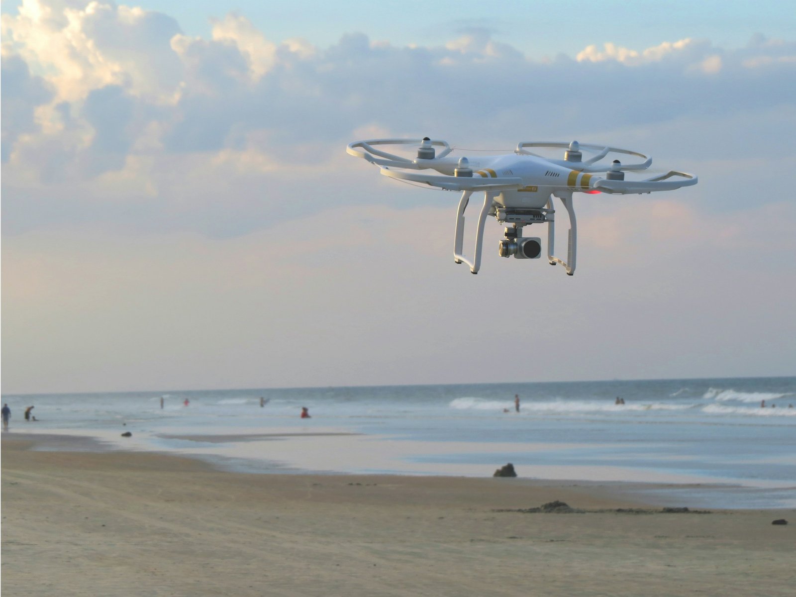
Many licensed surveyors and mappers across the US are turning to Dfwairview to assist with their drone services needs. Whether for data collection, consultation, or drone rentals, our drone expertise can save you a significant amount of time and money.

LiDAR data is compiled electronically with GPS technology to generate a digital representation of the collected data, enabling professional surveyors to produce various deliverables for their clients.
LiDAR, short for light detection and ranging, is a remote sensing technique that accurately measures the earth’s surface by detecting objects in real space. Drones equipped with LiDAR and other sensors capture reflections and distances from millions of light beams emitted towards objects. This data, along with GPS and IMU data, is compiled into a digital file known as a point cloud. Surveyors can then utilize this point cloud to create a range of final products, including contour files and 3D maps.
LiDAR drones are particularly beneficial for surveying large or heavily vegetated areas. By penetrating through gaps in the tree canopy, LiDAR can accurately capture ground surfaces, allowing for the rapid creation of a point cloud, especially compared to traditional methods. In open areas devoid of forest cover, advanced LiDAR-equipped drones can cover extensive acreage, sometimes reaching up to 500-750 acres in a single day.
By combining traditional methods of data collection with drone data collection, mappers and surveyors can reap a number of benefits.
When dangerous terrain needs to be measured and mapped, deploying teams to these areas can pose risks of accidents and injuries. Instead, drones can be utilized to scan mountainous regions, icy landscapes, and areas prone to wildlife, ensuring a safer environment for your team.
Drones can efficiently and safely capture data, automatically reducing costs.
Drones can scan acres of land in a fraction of the time it takes for manual ground surveys, especially in challenging terrain. On average, our teams can scan 700 acres per team per day.
Combining data collected by drones with traditional methods significantly enhances the quality of data, as drones continuously scan and record thousands of measurements.
Land mapping and surveying play crucial roles across diverse industries, and Dfwairview possesses extensive experience collaborating with licensed surveying companies in sectors including:
Our team of drone pilots is strategically positioned throughout the United States, holding professional certifications, complying with FAA regulations, and maintaining comprehensive insurance coverage.

Dfwairview leverages a team of dedicated project managers and a widespread network of licensed, insured drone pilots positioned across the nation, equipped to handle projects of various scales. With extensive experience collaborating with surveyors and mappers, we are adept at fulfilling diverse project requirements.